What is recorded here
Fate and change are the true architects of memory. They build chambers where forgotten things become visible. What is lost may simply be waiting for the right moment to return.
In pasture on slight NE facing slope with the ruins of Faha House located 330m to SE. Not depicted on the 1840 0S 6-inch map. The 1897 2OS 5-inch map depicts the monument as a raised roughly circular-shaped area (approx. int. diam. 30m; approx. ext. diam. 40m) planted with trees. Present remains consist of a slightly raised circular-shaped area (diam. 30m) enclosed by an earth and stone bank (int. H 0.4m; ext. H 0.9m; base Wth. 6.10m) disturbed on all sides by animal activity and dumped material. The undulating interior is densely overgrown. Outline of tree-covered monument visible on Google Earth orthoimage taken 19/11/2019.
See attached Google Earth orthoimages
Compiled by: Martin Fitzpatrick
Date upload: 22 June 2020
The monument record does not grant public access. Check the route and ask the landowner before entering private land.
- What survives
- Recorded monument
Places near here
 BarrowBarrow, unclassified · 185 yd
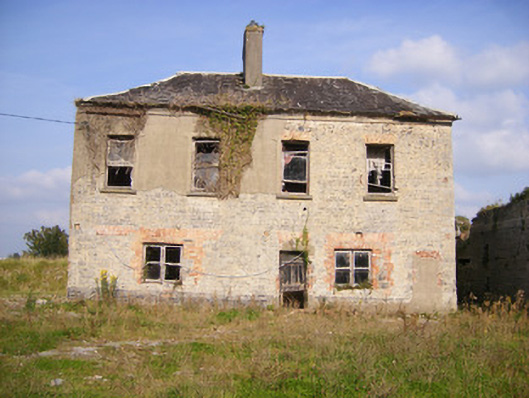 Faha Housecountry house · 449 yd
 Enclosure in Faha DemesneEnclosure · 587 yd
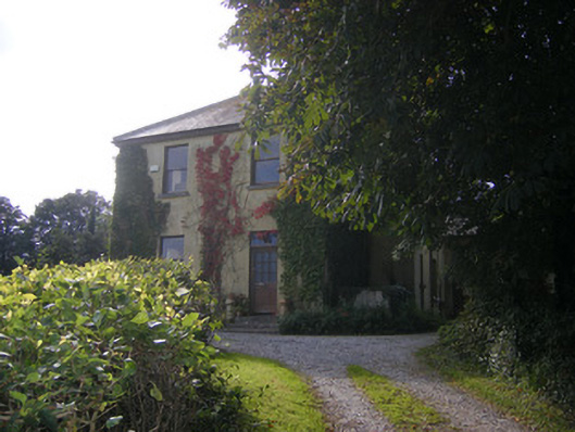 Beech Hillhouse, surgery/clinic · 1051 yd
 Site of CastleCastle, unclassified · 1.6 mi
 CastleCastle, unclassified · 1.8 mi
 Sailors HaggardMemorial · 3.9 mi
 Grass IslandIslet · 5.6 mi
 Maiden RockNamed rock · 5.8 mi
 Mellon PointHeadland · 6.3 mi
 Cratloe WoodsForest · 6.8 mi
 Kinnoor WellSpring · 7.1 mi