What is recorded here
Identified in centre-line testing (E4110) in advance of the M11 Gorey to Enniscorthy road scheme and set aside for resolution as Toom 6 (Hardy et al. 2010, 76-7). It is situated on a slightly undulating landscape. Excavation (E4280) of an extensive area (dims c. 60m E-W; c. 30m N-S) by Y. Whitty recorded twelve pits, seven post-holes and an E-W drain (Wth 0.45m; D 0.4m; L 60m plus). Six small pits (dims 0.44m x 0.36m; D 0.1m to 0.95m x 0.65m; D 0.16m) and five larger pits (dims 1.4m x 1.37m; D 0.48m to 3m x 0.95m; D 0.38m) were concentrated in the NW corner of the excavated area, but no pattern was discernible, apart from three post-holes in a line (L 3m). Almost all the artefacts are from the topsoil, and are medieval and post-medieval in character. The pits (WX020-098----) are c. 90m to the NE and the pits and post-holes (WX020-100----) are c. 70m to the SSW. (Hardy 2012; Whitty 2013)
Compiled by: Michael Moore
Date of upload: 28 November, 2013
The monument record does not grant public access. Check the route and ask the landowner before entering private land.
- What survives
- Recorded monument
Places near here
 Hearth in ToomHearth · 276 yd
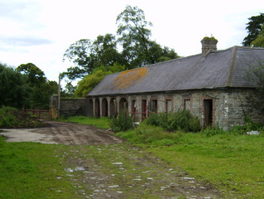 Solsborough Housefarmyard complex · 517 yd
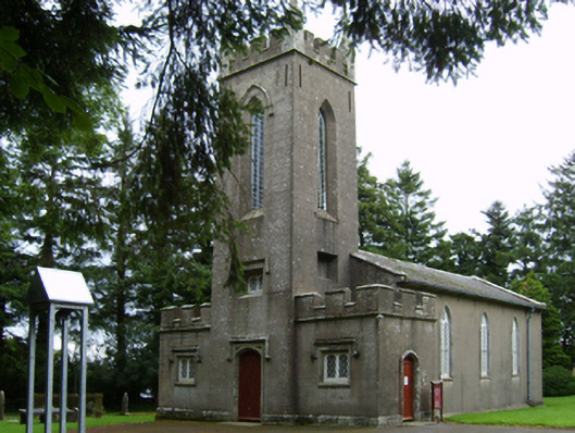 Saint Paul's Church (Clone)church/chapel · 628 yd
 Hearth in BallydawmoreHearth · 712 yd
 Battle of Vinegar Hill, 1798Monument · 2.4 mi
 Vinegar HillMountain / peak · 2.4 mi
 U.N. Peace MemorialMonument · 2.9 mi
 Battle of Vinegar HillMajor battlefield · 3.0 mi
 Duffry GateMemorial · 3.0 mi
 National 1798 CentreMuseum · 3.2 mi
 Daphney CastleCastle, unclassified · 4.2 mi
 CastleCastle, ringwork · 4.8 mi