What is recorded here
On an E-facing slope on a roughly E-W orientated ridge, an area c. 70m x 60m was excavated in advance of construction of the N8 Cashel Bypass and N74 Link Road South. Features uncovered included pits, some containing burnt-mound type material and others possible prehistoric pottery (O'Flanagan 2006, 472). One of the pits may be a corn-drying kiln (TS061-171----) (ibid.). A fulacht fia (TS061-169----) with associated burnt spreads was excavated along the eastern limit of the excavation and a ring-ditch (TS061-161----) was excavated in the NW sector.
Compiled by: Jean Farrelly
Date of upload: 26 August 2011
The monument record does not grant public access. Check the route and ask the landowner before entering private land.
- What survives
- Recorded monument
Places near here
 Ballyknock HillMountain / peak · 775 yd
 Habitation site in BoscabellHabitation site · 860 yd
 Enclosure in BallyknockEnclosure · 1058 yd
 Gortmakellis CastleCastle · 1634 yd
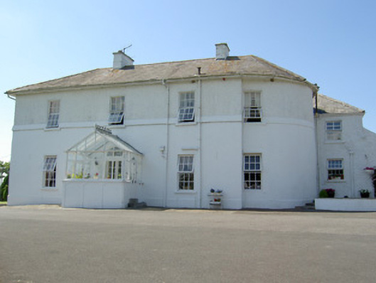 Hill Househouse · 1.1 mi
 DuvcloyRoad, hollow-way · 1.2 mi
 Meldrum Castle (ruins)Castle · 1.5 mi
 The Rock Of CashelVisitor information · 1.5 mi
 Cormac's ChapelHeritage attraction · 1.5 mi
 Rock of CashelHeritage attraction · 1.5 mi
 Black mulberryBlack mulberry · 1.5 mi
 Dundrum Woods (Marl Bog)Forest · 8.6 mi