What is recorded here
An area c. 40m x 40m was excavated in advance of construction of the N8 Cashel Bypass and N74 Link Road South on the sloping ground to the S of a small lake. The excavation revealed a concentration of activity in the form of pits and post-holes, though no definable structures could be recognised. One of the pits contained a chert flake which has been assigned a Mesolithic date (O'Flanagan 2004, 11 - unpublished excavation report). Near the western edge of the excavated area, two pit-burials were uncovered (TS061-160----; TS061-162----). A kiln (TS061-168----) was located c. 10m S of the lake and the trough of a fulacht fia (TS061-163----) was uncovered at the eastern edge of the excavated area. This area had previously been tested (TS061-149----) (Lennon 2004, 480).
Compiled by: Jean Farrelly
Date of upload: 26 August 2011
The monument record does not grant public access. Check the route and ask the landowner before entering private land.
- What survives
- Recorded monument
Places near here
 Habitation site in BoscabellHabitation site · 739 yd
 Ballyknock HillMountain / peak · 889 yd
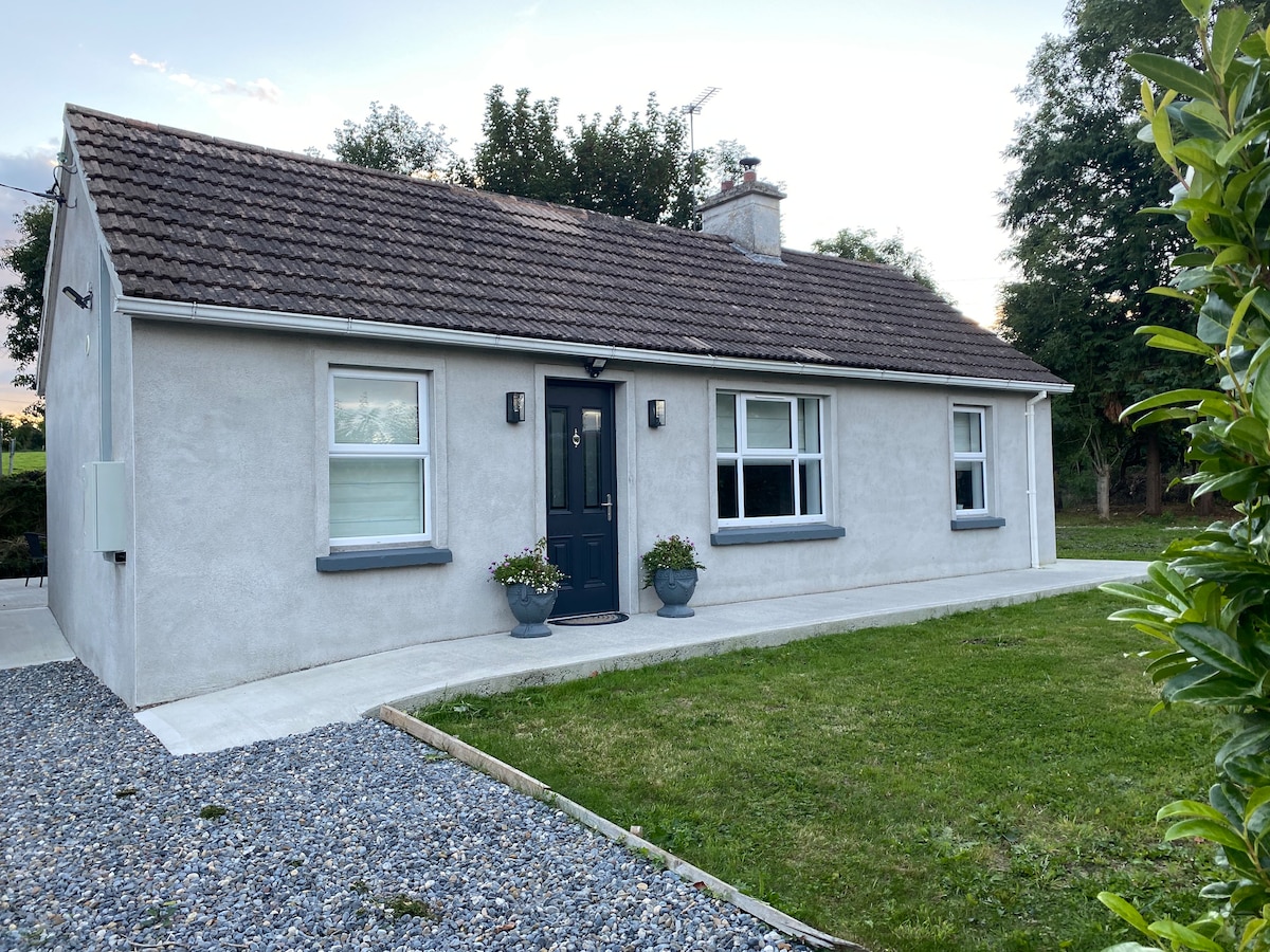 Enclosure in Hughes'-Lot EastEnclosure · 1071 yd
 Gortmakellis CastleCastle · 1.0 mi
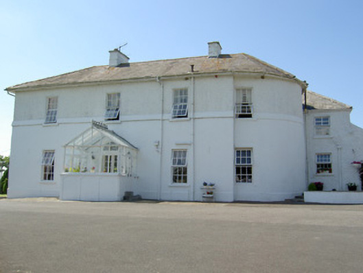 Hill Househouse · 1.1 mi
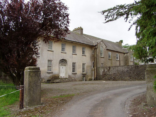 Meldrum Housecountry house · 1.2 mi
 Meldrum Castle (ruins)Castle · 1.4 mi
 The Rock Of CashelVisitor information · 1.5 mi
 Cormac's ChapelHeritage attraction · 1.5 mi
 Cashel Folk MusuemMuseum · 1.5 mi
 Black mulberryBlack mulberry · 1.5 mi
 Dundrum Woods (Marl Bog)Forest · 8.7 mi