What is recorded here
Located towards the bottom of the E-facing slope of Lacken Hill. Centre-line testing (E4067) in advance of the N25 New Ross by-pass identified archaeological material that was set aside for resolution as Lacken 2 (Doyle et al 2010, 41). When fully excavated (E4124) two pits (dims 1.8m NE-SW; 1.45m NW-SE; D 0.45m: dims 2.15m NW-SE; 1.1m NE-SW; D 0.4m) and a spread of post-medieval disturbance were recorded. A post-medieval iron nail was recovered from one of the pits. (Clark and Hackett 2010, 8; Hackett 2013)
Compiled by: Michael Moore
Date of upload: 24 September, 2013
The monument record does not grant public access. Check the route and ask the landowner before entering private land.
- What survives
- Recorded monument
Places near here
 Site of CastleCastle, unclassified · 158 yd
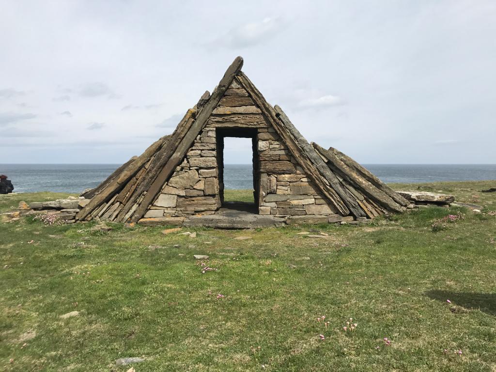 Embanked enclosureFairy fort / earthen ringfort · 346 yd
 Lacken HillMountain / peak · 718 yd
 1798 MonumentMonument · 727 yd
 Forest Of The DunbrodyForest · 891 yd
 Newtown Housefarm house · 1577 yd
 Goldentown Housefarm house · 1660 yd
 Castle (in ruins)Castle, unclassified · 1.1 mi
 Crutched FriarsMemorial · 3.1 mi
 Carrickbyrne HillMountain / peak · 4.4 mi
 Silver WattleSilver Wattle · 4.8 mi
 Kennedy HomesteadHeritage attraction · 5.8 mi