What is recorded here
Situated on a slight gravel ridge just above the high water mark on the SW shore of the Newry River estuary. Archaeological excavation (E004498) in advance of a new bridge recorded a large shallow cut (dims c. 15m NW-SE; c. 3-5m NE-SW; max. D 0.4m) with an uneven base filled with a charcoal-rich mix of clay and silts and some small fire-shattered stones. Samples of oak, alder, hazel, elm and ash were identified but the lithic assemblage was relatively small amounting to five completed objects and debris. The pit (LH002-012002-) is c. 10m to the N. (Walsh 2015, 301-02)
Date of upload: 25 October, 2016
The monument record does not grant public access. Check the route and ask the landowner before entering private land.
- What survives
- Recorded monument
Places near here
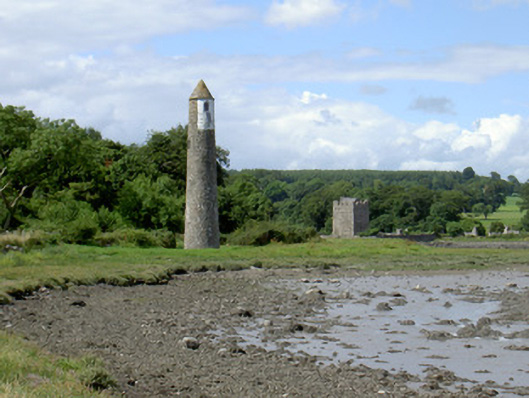 Newry River Lighthouse (Rear)beacon · 40 yd
 Ecclesiastical site in CornamucklaghEcclesiastical site · 228 yd
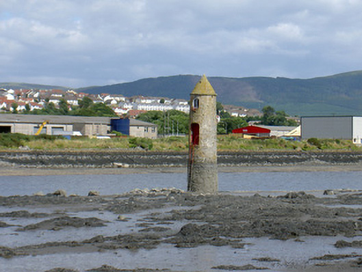 Newry River Lighthouse (Front)beacon · 275 yd
 Narrow Water KeepHeritage attraction · 474 yd
 TOWER-HOUSE AND BAWN: NARROW WATER CASTLE in Narrow WaterTOWER-HOUSE AND BAWN: NARROW WATER CASTLE · 489 yd
 Narrow Water WatchtowerVisitor information · 490 yd
 Warrenpoint ambushambush · 501 yd
 Narrow Water CastleCastle · 937 yd
 Fulacht fia in CornamucklaghFulacht fia · 1457 yd
 Joanne ReillyMemorial · 1720 yd
 Anglesey MountainMountain / peak · 1.4 mi
 Ring of Gullion Way - Section 2Walking route · 1.9 mi