What is recorded here
Three pits which were cut into the boulder clay were discovered during monitoring along the N22 Ballincollig Bypass. Two of the pits were c. 2m apart while the third was c. 9m to the W. The two pits in close proximity to each other were very similar in form and fill. The larger (0.97m x 0.73m; D 0.33m) of the two contained a charcoal-stained and heat-shattered stone fill. Other inclusions in the fill consisted of a moderate amount of charcoal flecks and occasional fragments of burnt bone. The second pit (0.6m x 0.4m; D 0.1m) was subcircular in plan and was orientated N-S. The third pit (0.6m x 0.4m; D 0.1m) was elliptical in plan and was also orientated N-S. It contained a loose, dark brown, clayey silt with occasional charcoal flecks. Sherds of prehistoric pottery, flint and chert debitage and a stone axe were found in the fill. According to the excavator (Danaher 2004e, 64), this feature appeared to be the basal remains of a pit, with the upper portions having been truncated before development works. (Danaher 2004e, 64; 2004l)
The above description is derived from 'The Archaeological Inventory of County Cork. Volume 5' (Dublin: Stationery Office, 2009).
Date of upload: 22 December 2009
The monument record does not grant public access. Check the route and ask the landowner before entering private land.
- What survives
- Recorded monument
Places near here
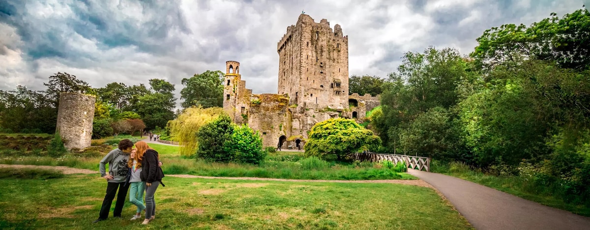 Enclosure in CarrigrohaneEnclosure · 264 yd
 Fulacht fia in CarrigrohaneFulacht fia · 509 yd
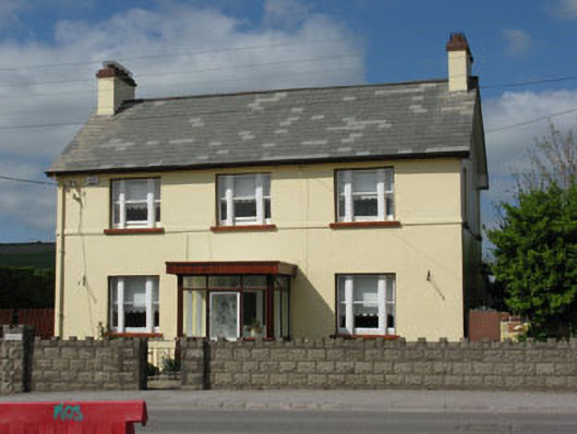 Ard na Laoihouse · 840 yd
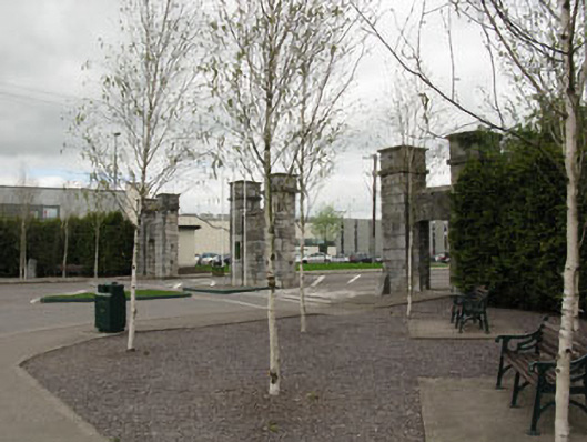 gates/railings/wallsgates/railings/walls · 1122 yd
 Patrick BurnsMemorial · 1130 yd
 Stone BeachBeach / strand · 1683 yd
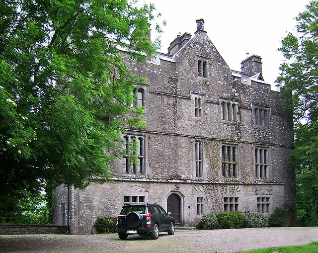 Carrigrohane Castle (in Ruins)Castle, Anglo-Norman masonry castle · 1.0 mi
 Sunday WellSpring · 1.2 mi
 Cave in Ballincollig (muskerry East By., Carrigrohane Par.)Cave · 1.2 mi
 Ballincollig Castle (in Ruins)Castle, tower house · 1.2 mi
 Murphy's FarmHeritage attraction · 1.5 mi
 Ballincollig ViewViewpoint · 1.9 mi