
What is recorded here
In pasture, on the edge of a marshy area and on the S side of a drain. This fulacht fia was described in 1995 as a low, grass-covered, horseshoe-shaped mound (10m E-W; 8m N-S; H 0.3m) of heat-shattered stones and charcoal-enriched soil. The opening (Wth 2.2m) faced SW. It was excavated in 2001 as it lay on the route of the Ballincollig Bypass (Murphy 2003d, 34). Excavation revealed that the fulacht fia had been badly disturbed by ploughing and that furrows extended into the natural subsoil. The four roughly circular pits, which were found underneath the mound, may have functioned as troughs.
The above description is derived from 'The Archaeological Inventory of County Cork. Volume 5' (Dublin: Stationery Office, 2009).
Date of upload: 22 December 2009
The monument record does not grant public access. Check the route and ask the landowner before entering private land.
- What survives
- Recorded monument
Places near here
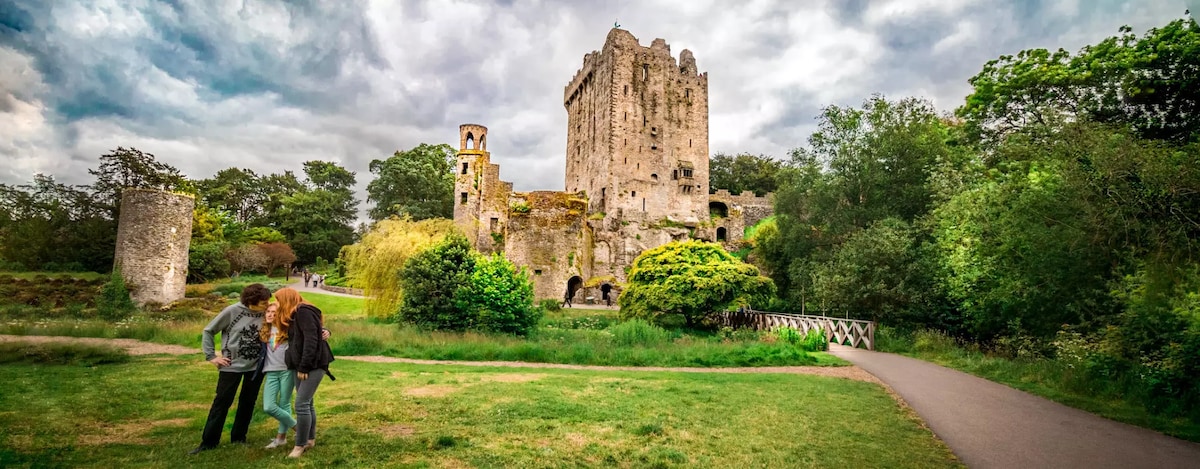 Enclosure in CarrigrohaneEnclosure · 370 yd
 Burnt mound in Curraheen (cork By., Inishkenny Par.)Burnt mound · 532 yd
 Maglin HouseCountry house · 1102 yd
 Church in BallynoraChurch · 1287 yd
 Sunday WellSpring · 1519 yd
 Patrick BurnsMemorial · 1520 yd
 Cave in Ballincollig (muskerry East By., Carrigrohane Par.)Cave · 1.2 mi
 Ballincollig Castle (in Ruins)Castle, tower house · 1.2 mi
 Ballincollig CastleCastle · 1.2 mi
 Stone BeachBeach / strand · 1.2 mi
 Murphy's FarmHeritage attraction · 1.4 mi
 Ballincollig ViewViewpoint · 1.7 mi
Other information
Photo: Credit not shown in the picture search · Rights wording not checked; contact us if this picture should be removed