What is recorded here
On level ground in low-lying pasture. Excavated in 2007/8 in advance of the N9/N10 Kilcullen to Waterford road improvement scheme (Licence no. E3913, Area A). A possible trough filled with charcoal and heat-affected stone with several spreads of burnt material in the immediate vicinity. The trough was truncated by later agricultural activity. (Coughlan 2010, 245, 921; Coughlan and Bailey 2011)
Compiled by: Mary Tunney
Date of upload: 3 December 2013
The monument record does not grant public access. Check the route and ask the landowner before entering private land.
- What survives
- Recorded monument
Places near here
 Enclosure in BlanchvillesparkEnclosure · 651 yd
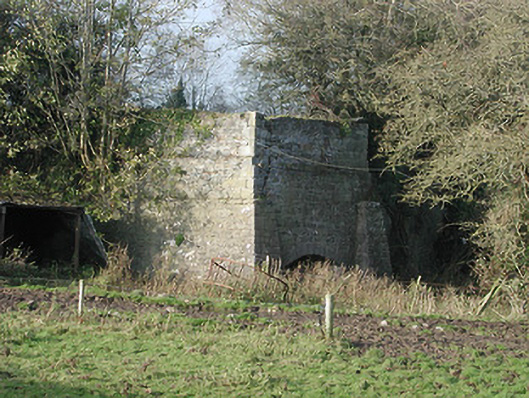 kilnkiln · 809 yd
 unknownunknown · 1336 yd
 Moneynamuck Ringfort (rath)Archaeological place · 1493 yd
 Moonhall Castle (ruins)Castle · 1.0 mi
 HawthornHawthorn · 1.2 mi
 CastleCastle, motte · 1.9 mi
 St. Mogarra’s WellSpring · 2.6 mi
 Red BogForest · 3.6 mi
 Tullaherin Church and Round TowerVisitor information · 4.9 mi
 Time CapsuleMemorial · 5.1 mi
 Kilbline GraveyardArchaeological place · 5.5 mi