What is recorded here
Linear archaeological testing (Licence no. 02E0141: www.excavations.ie) was undertaken in advance of the proposed M4 road development at Cloncurry and identified a series of pits (designated Site 14), in two concentrations, spread over a distance of 125m. It was decided that they be fully excavated before road construction began. An excavation (Licence no. 02E0993) was undertaken but after soil-stripping it became apparent that the pits lay outside the proposed land-take and that the original centre-line test-trench had veered outside the western way leave boundary. After consultation, it was decided to backfill and preserve the archaeology in situ.
Compiled by: Gearóid Conroy
Date of upload: 10 June 2011
The monument record does not grant public access. Check the route and ask the landowner before entering private land.
- What survives
- Recorded monument
Places near here
 Enclosure in BallyvoneenEnclosure · 374 yd
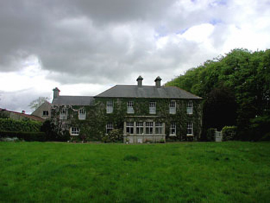 Ballyvoneen Househouse · 482 yd
 Enclosure in Cloncurry (ikeathy & Oughterany By., Cloncurry Ed)Enclosure · 586 yd
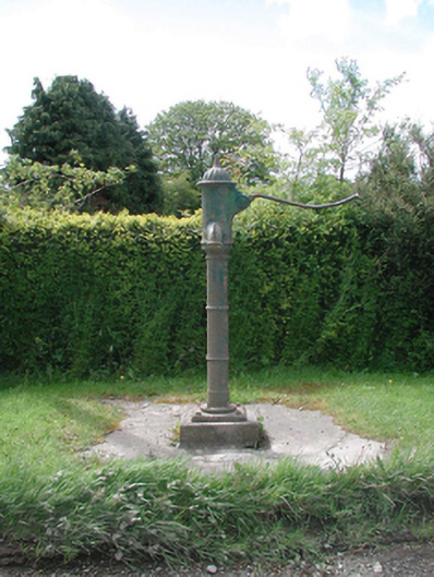 water pumpwater pump · 988 yd
 Cloncurry GraveyardHeritage attraction · 1362 yd
 European ashEuropean ash · 1451 yd
 Cloncurry MoatCastle, motte · 1454 yd
 Old Bog Road made famous by Teresa Bryton 1868-1943Memorial · 1.4 mi
 Site of Dunfierth CastleCastle, unclassified · 2.3 mi
 The Grill ShackHeritage attraction · 3.6 mi
 9/11 MemorialMemorial · 4.6 mi
 Wych ElmWych Elm · 4.8 mi