What is recorded here
Situated on a slight rise in a level landscape with clay cliffs (H c. 10m) down to the seashore c. 150m to the N. Archaeological excavation (04E1214) recorded a number of pits (dims 1.3m x 0.47m; D 0.15: 2.1m x 0.58m; D 0.31m: 0.91m x 0.9m; D 0.12m) and linear features. A trench (dims 5.65m N-S; 1.2m E-W: D 0.48m) curved to the W at either end and produced a sherd of coil-made pottery. Another pit (dims 2.85m E-W; 0.71m N-S; D 0.16m) had a large charcoal content, while charcoal from another trench (dims 4m E-W; Wth 0.84m; D 0.23m) produced a C14 date of 4060 +- 60 BP. The area was truncated by furrows and most of the 28 sherds of unidentified pottery had no contexts. (Henry 2004; 2007)
Compiled by: Michael Moore
Date of upload: 3 January, 2014
The monument record does not grant public access. Check the route and ask the landowner before entering private land.
- What survives
- Recorded monument
Places near here
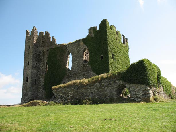 Site of CastleHouse, 17th century · 425 yd
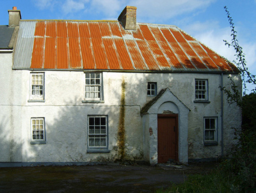 farm housefarm house · 514 yd
 Wind Mill StumpWindmill · 658 yd
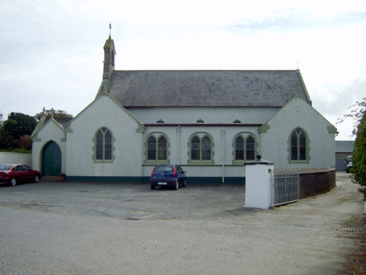 Saint Ruane's Catholic Churchchurch/chapel · 974 yd
 Rosslare Harbour Maritime Heritage CentreMuseum · 1131 yd
 CastleCastle, tower house · 1731 yd
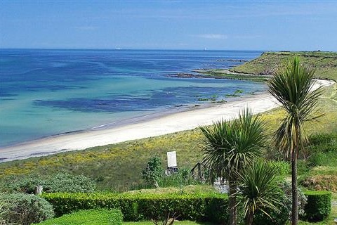 Moran's Bay PostVisitor information · 1.1 mi
 Birdlife of RosslareVisitor information · 1.9 mi
 Marconi HouseMemorial · 2.3 mi
 The Fairy Stone/RockNamed rock · 2.4 mi
 Rosslare Strand BeachBeach / strand · 2.9 mi
 Shernock Hill/Knocks HillMountain / peak · 3.0 mi