What is recorded here
Identified in centre-line testing (E4110) in advance of the M11 Gorey to Enniscorthy road scheme and set aside for resolution as a part of Ballydawmore 5 (Hardy et al. 2010, 82-3). It is situated on a slight rise in an undulating landscape with the headwaters of a small SE-NW stream c. 50m to the N. Full excavation (E4171) by L. Barker of an extensive area recorded two main phases – Neolithic and medieval, with a structure and a burial cairn (WX020-109001-) in the earlier phase and an enclosure (WX020-109003-) in the later.
A concentrated area (diam. c. 10m) of post and stake-holes and pits is situated c. 5m W of the cairn (WX020-109001-) and in the N interior of the enclosure. A central pit may be a cremation burial as it contained a charcoal-rich layer with fragments of burnt bone. This area was rich in lithics, but no pattern was discernible in the post-holes, and a hearth was not recognised. The pits (WX020-108----) are c. 150m to the NNW. (Ruttle and Rajic 2012; Barker 2013)
Compiled by: Michael Moore
Date of upload: 28 November, 2013
The monument record does not grant public access. Check the route and ask the landowner before entering private land.
- What survives
- Recorded monument
Places near here
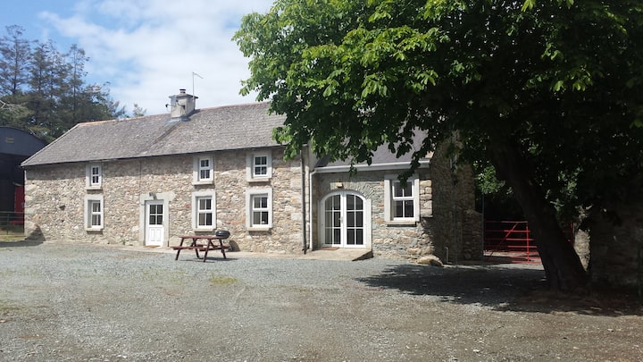 Enclosure in BallydawmoreEnclosure · 1 yd
 Fulacht fia in BallydawmoreFulacht fia · 297 yd
 KilnKiln, corn-drying · 796 yd
 Kiln in Corbally (scarawalsh By.)Kiln · 993 yd
 Battle of Vinegar Hill, 1798Monument · 2.1 mi
 Vinegar HillMountain / peak · 2.1 mi
 U.N. Peace MemorialMonument · 2.7 mi
 Battle of Vinegar HillMajor battlefield · 2.7 mi
 Duffry GateMemorial · 2.8 mi
 National 1798 CentreMuseum · 2.9 mi
 Daphney CastleCastle, unclassified · 4.0 mi
 CastleCastle, ringwork · 4.4 mi