What is recorded here
Grave Yard stands atop a low rise in County Laois, watching the land through an opening where a stream runs just north of the stones. Medieval church ruins occupy its centre, and fragments from that broken building may have become grave markers, turning sacred wreckage into personal memory. The graveyard belongs to St. Kieran’s wider place, near his monastery, tree and well, as if the dead kept company with the stories told about him.
Situated atop low rise of ground with good views in all directions, stream located immediately N of graveyard. St. Kieran's monastery (LA027-022001-) located 190m to NW, site of St. Kieran's Tree (LA027-023---) 115m to NNW, St. Kieran's Well (LA027-026---) 450m to ENE and 17th century wayside cross (LA027-025---) 80m to SW. Irregularly shaped graveyard (int. dims. 79m N-S; 54m E-W) enclosed by a post-medieval stone wall containing memorials dating from 1700 onwards. Graveyard gateway located at S end of W wall of graveyard with stone stile to N of gateway. Narrow entrance gate of recent appearance at NW corner of graveyard. Medieval church ruins (LA027-024---) in centre of graveyard. Some cut stone fragments from the medieval church ruins appear to have been reused as grave markers.
Compiled by: Caimin O'Brien
Updated by: Caimin O'Brien
Date of revised upload: 25 March 2015
The monument record does not grant public access. Check the route and ask the landowner before entering private land.
- What survives
- Recorded monument
Places near here
 Church (in ruins)Church · 16 yd
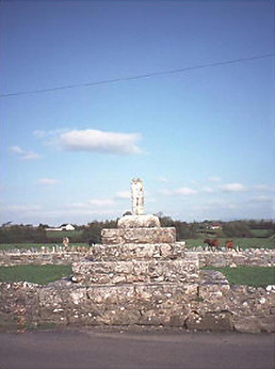 Errill Crosscross · 114 yd
 St. Kierans Monastery (Site of)Religious house, unclassified · 247 yd
 Ballagh CastleCastle · 1540 yd
 Enclosure in Knockardagannon NorthEnclosure · 1578 yd
 Bawn in Castlefleming Stubber,garrisonBawn · 1.0 mi
 Clonmeen WoodWood · 2.1 mi
 Tullow HillMountain / peak · 4.0 mi
 Carricknasrock WoodWood · 4.3 mi
 Black HillMountain / peak · 4.4 mi
 Cnoc SeanrathaMemorial · 5.0 mi
 DelaneyMemorial · 8.6 mi