What is recorded here
Cill Comhla is a ruined churchyard where a broken slab shrine still leans beneath the limestone bluff of Dún Eoghanachta. Its low wall once enclosed worship, devotion and perhaps burial, while the fortress above watched the sea. The stones no longer form a complete circle, but they preserve the shape of faith in West Galway.
To NE of and below limestone bluff upon which Dún Eoghanachta (GA110-020----) stands. This Nat. Mon., known locally as Cill Comhla, consists of a low, partially destroyed early ecclesiastical enclosure wall (GA110-019007-), at present U-shaped on plan (60m by 44m). There is a broken slab shrine (GA110-019001-) (E-W; L c. 2m, Wth c. 1.35m) in SW sector with triangular W gable-stone, and a possible enclosing kerb just outside it on NW. Three possible clochans (GA110-019004-, GA110-019005-, GA110-019006-) and other indistinct foundation lines (GA110-019002-, GA110-019003-, GA110-019008-) are also visible. (Waddell 1976, 86-8; O'Flanagan 1927a, Vol. 3, 229; Robinson 1980)
The above description is derived from the published 'Archaeological Inventory of County Galway Vol. I - West Galway'. Compiled by Paul Gosling (Dublin: Stationery Office, 1993). In certain instances the entries have been revised and updated in the light of recent research.
Updated by: Olive Alcock
Date of revised upload: 25 February 2016
The monument record does not grant public access. Check the route and ask the landowner before entering private land.
- What survives
- Recorded monument
Places near here
 KilcholanShrine · 19 yd
 Dun OnaghtFairy fort / stone ringfort · 114 yd
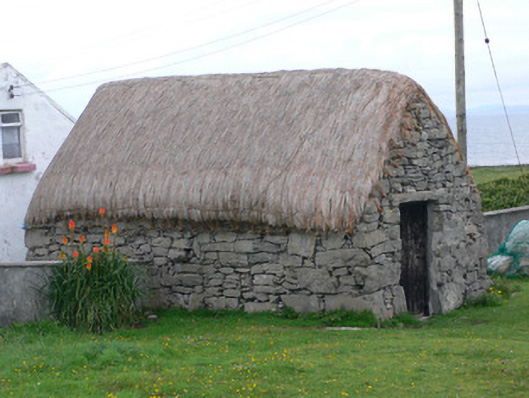 outbuildingoutbuilding · 485 yd
 monumentmonument · 496 yd
 Castle (in ruins)Castle, unclassified · 879 yd
 Teampal MacDuaghHeritage attraction · 1678 yd
 Kilmurvey BeachBeach / strand · 1740 yd
 ÁrainnIsland · 2.4 mi
 Seal Colony LookoutViewpoint · 2.6 mi
 An CharcairMountain / peak · 2.8 mi
 An tOileán ThiarIslet · 3.0 mi
 Trá na mBuailte (Beach of the Booly)Beach / strand · 4.4 mi