What is recorded here
Situated on a fairly level landscape. A large oval enclosure (dims c. 220m WNW-ESE; c. 100m NNE-SSW) that appears to be defined by a low earthen bank is visible on Google Earth (27/06/2019, 14/05/2020). It is bisected by a WNW-ESE canalised stream, and is also visible on LiDAR imagery from the Open Topographic Viewer. It was first reported by Jean Charles Caillére.
See the attached enhanced view from Google Earth (27/07/2019)
Compiled by: Michael Moore
Date of upload: 24 January 2022
The monument record does not grant public access. Check the route and ask the landowner before entering private land.
- What survives
- Recorded monument
Places near here
 Site of Old CastleCastle, unclassified · 697 yd
 CastleCastle, motte · 1.2 mi
 Font in RathbegganFont · 1.2 mi
 EnclosureEnclosure, large enclosure · 1.6 mi
 Saint Keiran's Church (Ballymaglassan)church/chapel · 1.7 mi
 Lismahon 1798 MemorialMonument · 1.8 mi
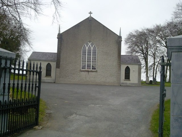 Catholic Church of the Assumptionchurch/chapel · 1.8 mi
 Hanwood GardensHeritage attraction · 2.6 mi
 Caulstown Christmas Tree FarmForest · 3.0 mi
 Ash HillMountain / peak · 3.0 mi
 Saint Oliver Plunkett 1625-1681Memorial · 3.1 mi
 Wesley's WoodsWood · 4.2 mi