What is recorded here
Located at the summit of the Hill of Slane. The motte (ME019-060001-) is separated by a berm (Wth c. 30m) from a large outer enclosure (ext. diam. c. 120m) which is defined by an earthen bank (at SE: Wth of base 3.8m; int. H 0.45m; ext. H 1.3m) and outer fosse (at SE: Wth of top 1.6m; Wth of base 1m; ext. H 0.4m) that is most visible E-S-NW but is reduced to a low scarp elsewhere. At the SE the bank is built onto the scarp of the earthwork (ME019-016015-) and post-dates it. If the motte originated as a prehistoric barrow, this large enclosure might have fulfilled a ceremonial role in relation to it (Herity 1993, 145-6). (Seaver and Brady 2011)
Compiled by Geraldine Stout
Date of upload : 29 March 12
Amended: 27 January 2021
The monument record does not grant public access. Check the route and ask the landowner before entering private land.
- What survives
- Recorded monument
Places near here
 MoatCastle, motte · 1 yd
 Monastic RuinsChurch · 203 yd
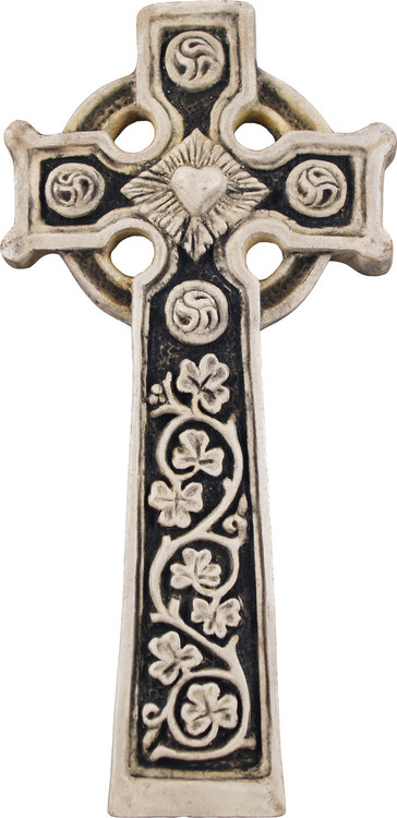 Slane Abbey CrossMonument · 215 yd
 Hill of Slane WoodWood · 218 yd
 MonasteryEcclesiastical residence · 233 yd
 Glentis ClumpWood · 306 yd
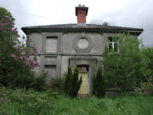 worker's houseworker's house · 662 yd
 Pat's Art StudioGallery · 1069 yd
 RiverviewMemorial · 1430 yd
 Slane CastleCastle, unclassified · 1432 yd
 KnowthArchaeological place · 2.5 mi
 Slieve BreaghMountain / peak · 3.8 mi