What is recorded here
On Tawin Island in low-lying commonage, on a low rise, c. 35m to the ESE another enclosure (GA102-040----). This surectangular area (dims. 10m ENE-WSW; 8m NNW-SSE) came to light following aerial reconnaissance by Markus Casey in August 1999 (SMR file). It is defined by the remains of low bank (Wth 5.5m; int. H 0.15m; ext. H 0.95m) along the SW and NW sides and by gentle scarp (Wth 3.5m; H 0.3m) to the NW and NE. It may be a natural rise in the field which was enclosed by field banks. Field walls associated with the field system (GA102-040003-) radiate from it at NW and NE.
Compiled by: Olive Alcock
Date of upload: 10 July 2019
The monument record does not grant public access. Check the route and ask the landowner before entering private land.
- What survives
- Recorded monument
Places near here
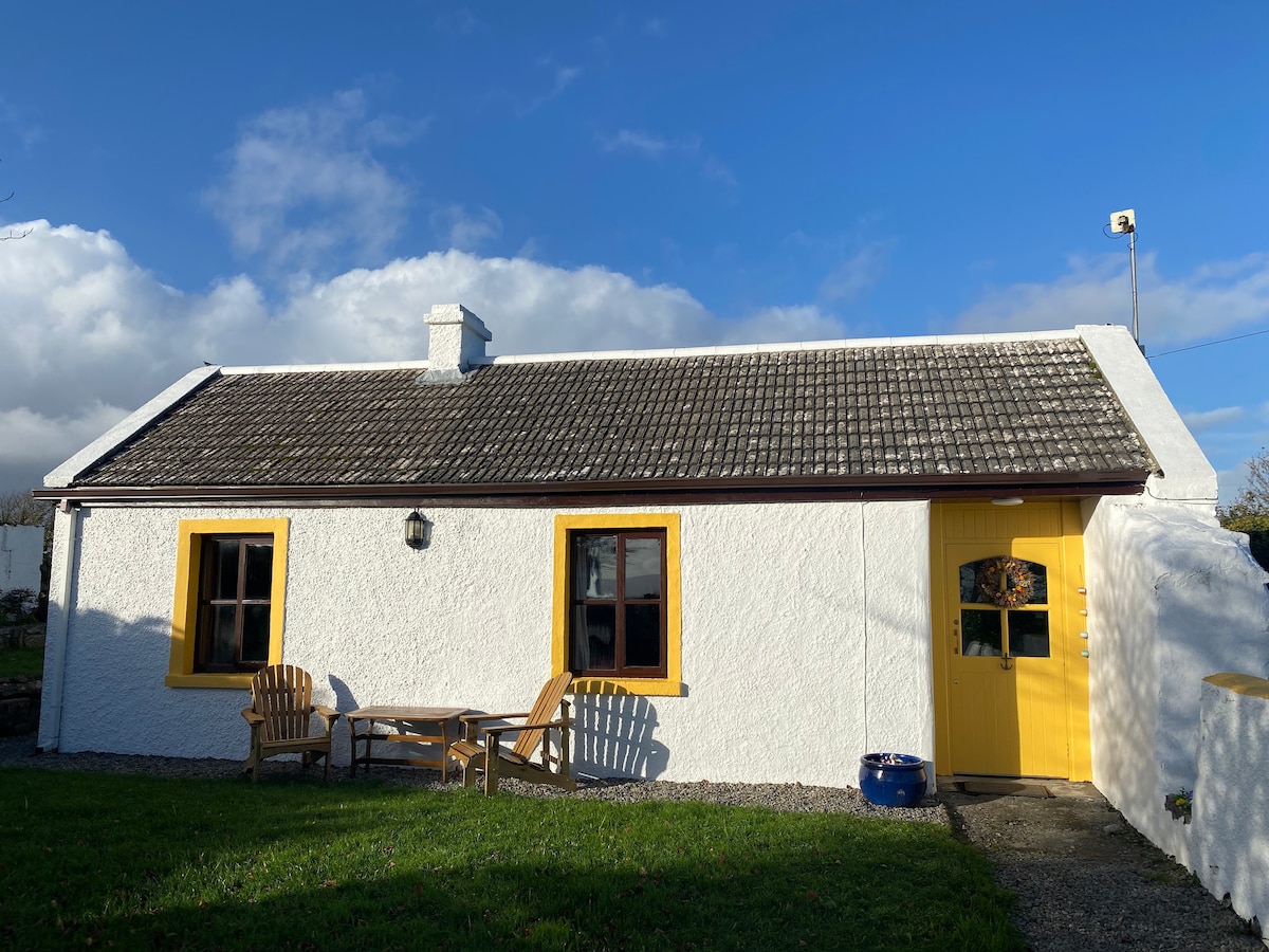 Enclosure in Tawin WestEnclosure · 127 yd
 LisheenFairy fort / earthen ringfort · 684 yd
 Tawin IslandIsland · 1373 yd
 Glasheen IslandIslet · 1.6 mi
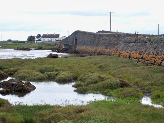 bridgebridge · 1.7 mi
 Ardfry PointHeadland · 1.9 mi
 Mutton Island LighthouseLighthouse · 2.4 mi
 Famine Ship MemorialMemorial · 3.1 mi
 Dead Mans BeachBeach / strand · 3.5 mi
 Galway City MuseumMuseum · 3.5 mi
 Spanish ArchHeritage attraction · 3.5 mi
 Christopher Columbus MonumentMemorial · 3.6 mi
Other information
Photo: Credit not shown in the picture search · Rights wording not checked; contact us if this picture should be removed