
What is recorded here
In improved pastureland overlooking Galway Bay to the S. This roughly circular rath (diam. 30m), in fair condition, is defined by a bank of earth and limestone boulders and it is best preserved from NW to NE; a later drystone field wall overlies it from SE to SW. A N-S running field wall clips the monument at E and a boreen cuts it a W. Within the interior a subcircular cairn of stone and boulders (5.5m by 3m; H 1m) is visible. Holt (1912, 227) suggested it may mark a ‘rifled sepulchre’. Holt (ibid.) also noted a similar mound to the W that marked the entrance to a ‘Man-made underground passage’ (GA102-038001-). (McCaffrey 1952, 176, no. 1)
Compiled by: Galway Archaeological Survey, UCG
Date of upload: 25 April 2018
A local fairy fort (ringfort/rath); wider significance not recorded.
The monument record does not grant public access. Check the route and ask the landowner before entering private land.
- What survives
- Recorded monument
Places near here
 Tawin IslandIsland · 710 yd
 Enclosure in Tawin WestEnclosure · 790 yd
 Glasheen IslandIslet · 1.2 mi
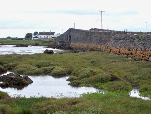 bridgebridge · 1.3 mi
 Ardfry PointHeadland · 1.6 mi
 Mutton Island LighthouseLighthouse · 2.6 mi
 Famine Ship MemorialMemorial · 3.2 mi
 Fortification in Townparks (galway By., Rahoon Par.)Fortification · 3.4 mi
 Dead Mans BeachBeach / strand · 3.5 mi
 Ballyloughane BeachBeach / strand · 3.6 mi
 Galway City MuseumMuseum · 3.6 mi
 Spanish ArchHeritage attraction · 3.6 mi
Other information
Photo: Credit not shown in the picture search · Rights wording not checked; contact us if this picture should be removed