What is recorded here
On Tawin Island in an area of commonage. Holt (1911-12, 249, 151, no. 1) noted a curved wall made up of large flagstones set on edge. It was believed by local residents to be a cattle shelter that was erected in the 18th century. On inspection in May 2008 an oval area (dims. 32m N-S; 24m E-W) was visible. It was defined by the wall (H 1.2m; T 0.55m) noted by Holt (ibid.) from WSW to N (C 19m); from N to SE a low sod-covered wall (Wth 5.95m; int. H 0.2m; ext. H0.55m) was visible and from SE to WSW it was levelled. The wall was constructed of vertical upright boulders. A small enclosure abutted the inner face of the wall at NNW and the interior of the enclosed area sloped towards the NE. A field bank associated with a field system (GA102-040003-) abuts it at S. Possibly an 18th-century cattle pen.
Compiled by: Olive Alcock
Date of upload: 10 July 2019
The monument record does not grant public access. Check the route and ask the landowner before entering private land.
- What survives
- Recorded monument
Places near here
 LisheenFairy fort / earthen ringfort · 790 yd
 Tawin IslandIsland · 1463 yd
 Glasheen IslandIslet · 1.6 mi
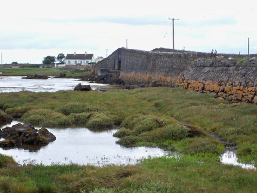 bridgebridge · 1.8 mi
 Ardfry PointHeadland · 1.9 mi
 Mutton Island LighthouseLighthouse · 2.4 mi
 Famine Ship MemorialMemorial · 3.0 mi
 Fortification in Townparks (galway By., Rahoon Par.)Fortification · 3.2 mi
 Dead Mans BeachBeach / strand · 3.4 mi
 Galway City MuseumMuseum · 3.5 mi
 Spanish ArchHeritage attraction · 3.5 mi
 Christopher Columbus MonumentMemorial · 3.5 mi
Other information
Photo: Credit not shown in the picture search · Rights wording not checked; contact us if this picture should be removed