What is recorded here
This is enclosure 'E' described by the 'Dingle Peninsula Archaeological Survey' (see report in SMR file) as a 'circular stone enclosure'. The report also mentions a 'wall running N-S for a distance of 11m, 80cm wide and 50cm high.'
The monument record does not grant public access. Check the route and ask the landowner before entering private land.
- What survives
- Recorded monument
Places near here
 BaurtregaumMountain / peak · 64 yd
 Baurtregaum NE TopMountain / peak · 772 yd
 Enclosure in Doire Mhór ThoirEnclosure · 988 yd
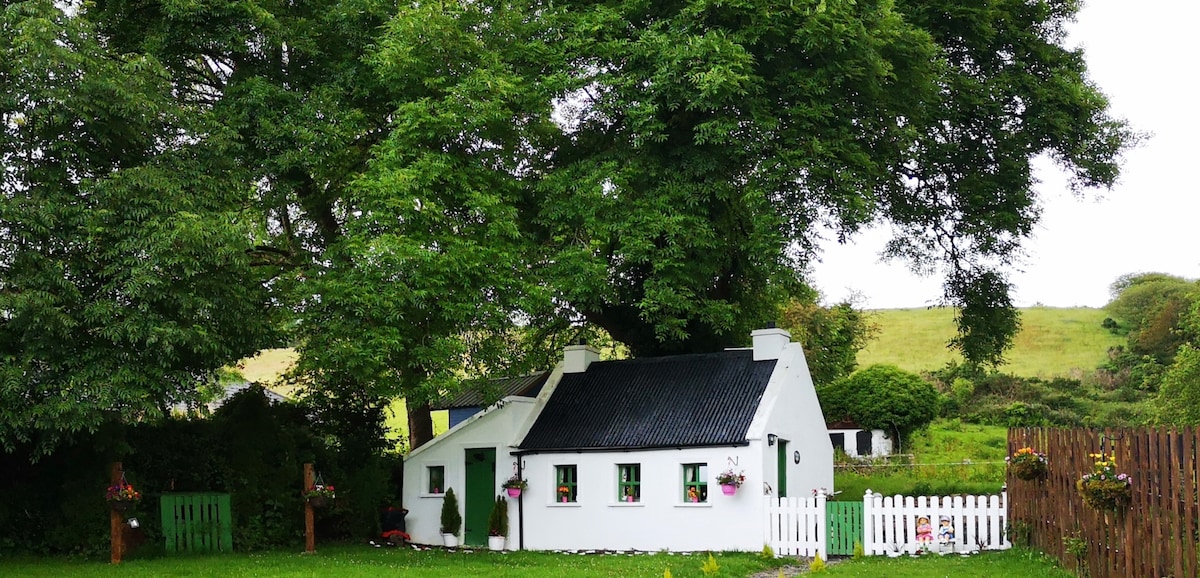 Structure in Beheenagh (corkaguiny By.)Structure · 1.6 mi
 Killelton Church (in ruins)Church · 2.4 mi
 LisnagraveArchaeological place · 2.8 mi
 Church in CurracullenaghChurch · 3.0 mi
 Derrymore Island Nature ReserveNature reserve · 3.3 mi
 Faisr's GraveArchaeological place · 3.3 mi
 Site of Camp CastleCastle, unclassified · 3.3 mi
 Castle Drum (in ruins)Castle, unclassified · 3.6 mi
 Tralee Equestrian CentreHeritage attraction · 4.2 mi