What is recorded here
The following description is derived from the published 'Archaeological Inventory of County Meath' (Dublin: Stationery Office, 1987). In certain instances the entries have been revised and updated in the light of recent research.
Date of upload/revision: 10 July 2007
Circular cropmark (diam. c. 80m) appears on aerial photograph (CUCAP, BGP 94).
The monument record does not grant public access. Check the route and ask the landowner before entering private land.
- What survives
- Recorded monument
Places near here
 IndicatedChurch · 186 yd
 CastleCastle, tower house · 318 yd
 Enclosure in Monktown (skreen By.)Enclosure · 326 yd
 Font (present location) in Walterstown (skreen By.)Font (present location) · 444 yd
 European ashEuropean ash · 1.0 mi
 Site of Old CastleCastle, unclassified · 1.2 mi
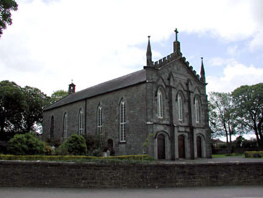 Catholic Church of the Assumptionchurch/chapel · 1.2 mi
 Candle HillMountain / peak · 2.0 mi
 European BeechEuropean Beech · 2.1 mi
 Hill of TaraVisitor information · 3.2 mi
 Tara Open StudioGallery · 3.3 mi
 Saint Patrick'sMemorial · 3.3 mi