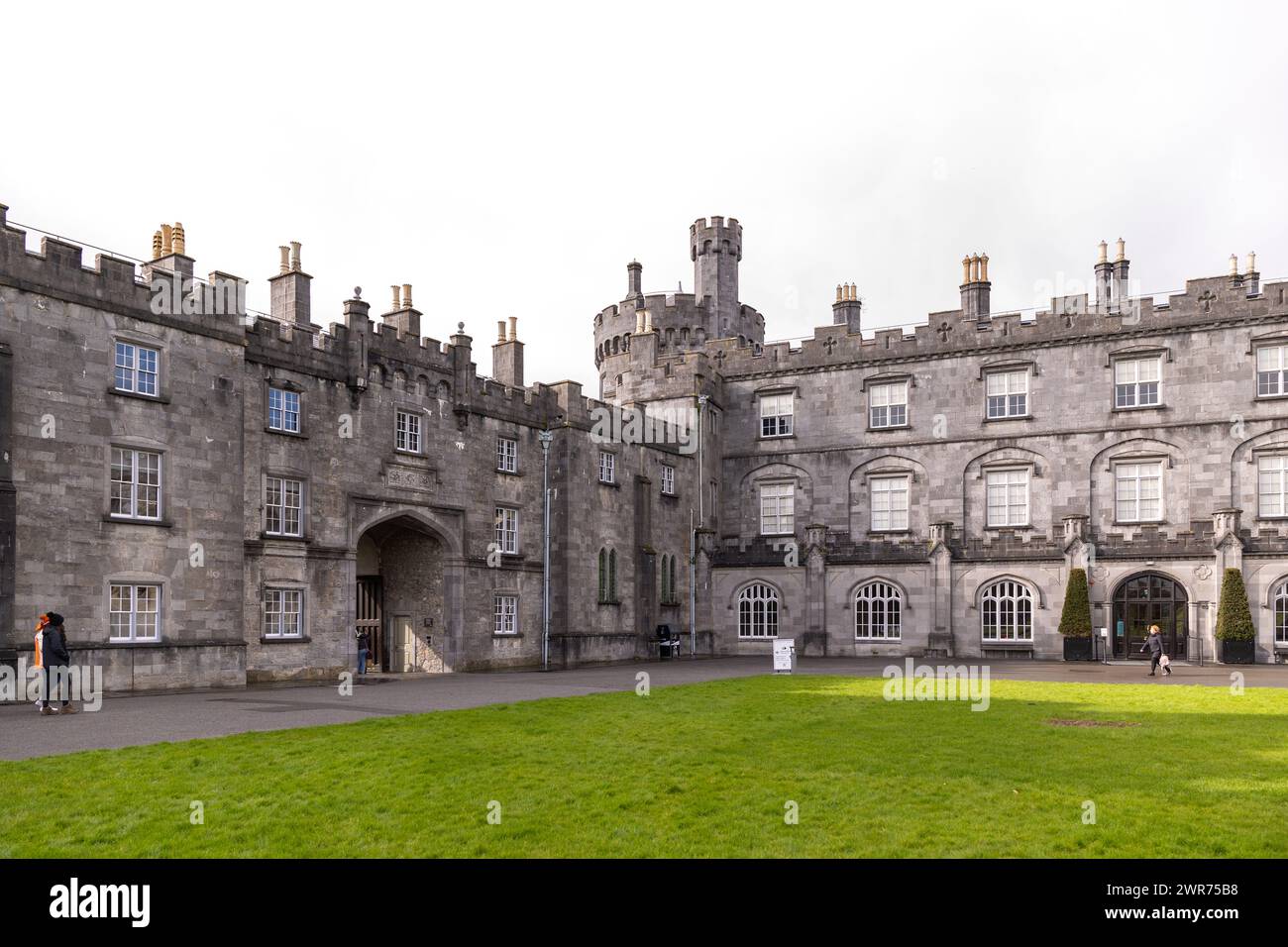
What is recorded here
In the middle of a wide valley, in flat rolling grassland. This monument is depicted on the 1st (1839) ed. and on the 1900 revision OS 6-inch. On the latter map it is shown as being a raised, roughly square area (dims. c. 34m NE-SW; c. 33m NW-SE) with rounded angles. According to the landowner the monument was levelled in the 1940s when the land was reclaimed. It is not visible at ground level.
Compiled by: Jean Farrelly
Date of upload: 12 June 2019
The monument record does not grant public access. Check the route and ask the landowner before entering private land.
- What survives
- Recorded monument
Places near here
 Enclosure in Tubbrid LowerEnclosure · 667 yd
 IndicatedEnclosure · 948 yd
 CastleCastle, ringwork · 963 yd
 Kildrinagh WoodForest · 1146 yd
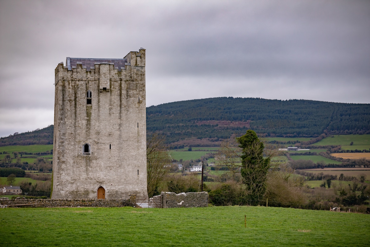
 Tubbrid Castle (in ruins)Castle, tower house · 1457 yd
 Church (in ruins)Church · 1.0 mi
 Woodsgift Housegates/railings/walls · 1.1 mi
 Clomantagh HillMountain / peak · 2.7 mi
 Four Acre WoodForest · 3.2 mi
 Kilcooly AbbeyHeritage attraction · 4.0 mi
 John HelyMemorial · 4.1 mi
 DelaneyMemorial · 4.2 mi
Other information
Photo: Credit not shown in the picture search · Rights wording not checked; contact us if this picture should be removed