
What is recorded here
Located in low-lying tillage N of a stream, close to the Malahide estuary. An aerial photograph (CUCAP, BDS 48) shows cropmark evidence for a sub-circular enclosure (diam. c. 60m) with two possible fields (DU0 12-012002-) attached to the E of it. Possibly of Early Christian date. Not visible at ground level.
Compiled by: Geraldine Stout
Date of upload: 26 August 2011
The monument record does not grant public access. Check the route and ask the landowner before entering private land.
- What survives
- Recorded monument
Places near here
 Field system in Lissenhall GreatField system · 125 yd
 Enclosure in Lissenhall GreatEnclosure · 285 yd
 Meudon HouseRuins · 410 yd
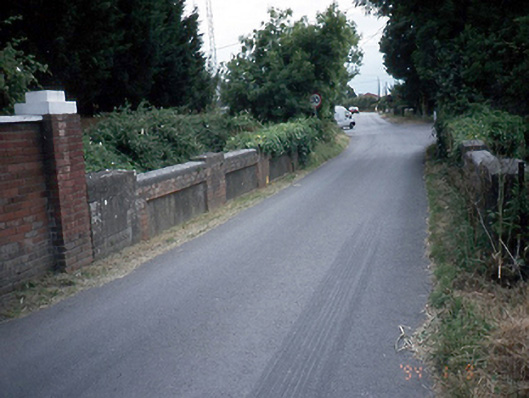 Lissenhall Bridgesbridge · 700 yd
 Graveyard (Disused)Church · 1278 yd
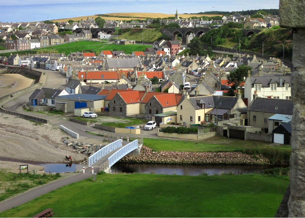 Seatown CastleCastle, tower house · 1373 yd
 Swords CastleCastle · 1.1 mi
 Fingal Tourism OfficeVisitor information · 1.1 mi
 Shannon Valley CentreVisitor information · 1.3 mi
 Swords Round TowerHeritage attraction · 1.4 mi
 Church (in ruins), Graveyard (disused)Church · 1.5 mi
 Newbridge House and DemesneHeritage attraction · 1.7 mi
Other information
Photo: Credit not shown in the picture search · Rights wording not checked; contact us if this picture should be removed