What is recorded here
According to Carrigan (1905, vol. 2, 199) there are, 'two raths close to each, still in the townland; a third, situated a couple of fields south of these, was removed in 1860'. There is only one enclosure (KK010-050----) indicated on the 1st (1839) ed. OS 6-inch map and the subsequent 1947 revision. The fields to the S have been quarried. The precise location of another 'rath' in this townland is unknown.
Compiled by: Jean Farrelly
Date of upload: 14 January 2019
The monument record does not grant public access. Check the route and ask the landowner before entering private land.
- What survives
- Recorded monument
Places near here
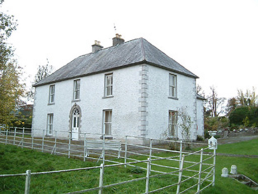 Lismaine Housefarm house · 544 yd
 Castle (in Ruins)Castle, tower house · 669 yd
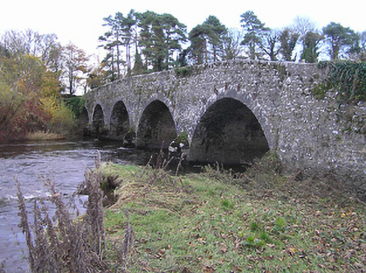 Lismaine Bridgebridge · 728 yd
 Enclosure in Clintstown (fassadinin By.)Enclosure · 730 yd
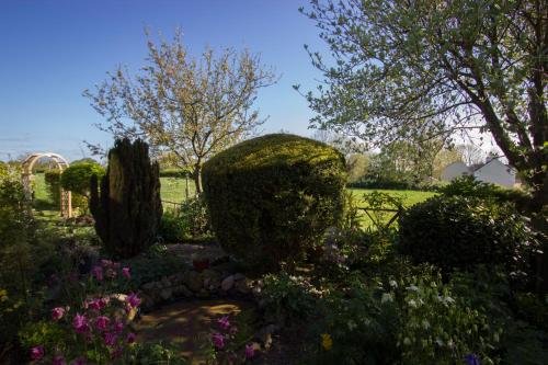 Enclosure in LismaineEnclosure · 861 yd
 IndicatedCastle, unclassified · 1023 yd
 Graveyard in ThreecastlesGraveyard · 2.3 mi
 Turkey OakTurkey Oak · 2.6 mi
 Emma Jane Browne-ClaytonMemorial · 2.7 mi
 Red horse-chestnutRed horse-chestnut · 2.7 mi
 Freshford LoopWalking route · 3.2 mi
 Anker's IslandIsland · 4.7 mi