What is recorded here
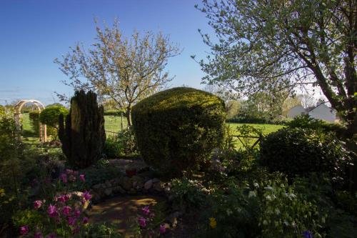
On flat land on the floor of the Nore river valley. There are good views in all directions across the valley. It is indicated on the 25-inch OS map a a roughly circular platform (diams. c. 20m) enclosed by a berm and outer bank (overall diam. c. 38m N-S; c. 33m E-W), being slightly truncated on the W side by a field boundary running roughly N-S. When visited in 1987 it was under grass but had been levelled and was not visible at ground level. The land has subsequently been quarried and the enclosure appears to have completely quarried out (Digitalglobe satellite imagery viewed 10 December 2018).
Compiled by: Jean Farrelly
Date of upload: 10 December 2018
The monument record does not grant public access. Check the route and ask the landowner before entering private land.
- What survives
- Recorded monument
Places near here
 Enclosure in Knockroe (fassadinin By.)Enclosure · 201 yd
 Enclosure in Foulksrath (fassadinin By.)Enclosure · 303 yd
 Foulksrath CastleCastle, tower house · 909 yd
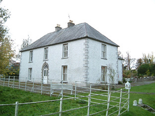 Lismaine Housefarm house · 1391 yd
 Church & Castle (in Ruins)Church · 1508 yd
 Castle (in Ruins)Castle, tower house · 1518 yd
 Saint Coleman's WellSpring · 2.0 mi
 Jenkinstown ParkWood · 2.0 mi
 Graveyard in ThreecastlesGraveyard · 2.5 mi
 Turkey OakTurkey Oak · 2.8 mi
 Emma Jane Browne-ClaytonMemorial · 3.1 mi
 Freshford LoopWalking route · 3.7 mi
Other information
Photo: Credit not shown in the picture search · Rights wording not checked; contact us if this picture should be removed