
What is recorded here
Kilree enclosure stood as a square ditched trap on the flat River Nore floodplain, its rounded corners and northeastern gap marking a medieval boundary above older prehistoric rings. People likely lived inside the possible central structure, firing clay in kilns cut into the ditch and burying their dead just beyond the southeast corner. The road works revealed more than stones; they exposed a layered human home where memory and daily labour crossed.
On a relatively flat field adjacent to the River Nore and its floodplain to the E. Excavated in 2007/8 in advance of the N9/N10 Kilcullen to Waterford road scheme (Licence no. E3730). A square ditched enclosure (42.8m by 42.3m) with rounded corners possibly with an internal bank evidenced by slipped bank material. The entrance (Wth 3.6m) was at NE. Pottery finds from the ditch indicate a medieval date. A possible structure consisting of two L-shaped features and a line of post-holes and two pits was located towards the centre. Other features include keyhole and figure-of-eight kilns cut into the enclosing ditch, pits, post-holes, linear ditches and hearths. The enclosure superimposed a prehistoric double penannular ring-ditch (KK024-126----). A human burial (orientated E-W; KK024-128----) was found just outside the SSE corner. (Whitty and Lynch 2009; Lynch 2010, 235, no. 885)
Compiled by: Mary Tunney
Date of upload: 12 November 2013
The monument record does not grant public access. Check the route and ask the landowner before entering private land.
- What survives
- Recorded monument
Places near here
 Church (in ruins)Church · 440 yd
 O'Gorman's Lane LoopWalking route · 821 yd
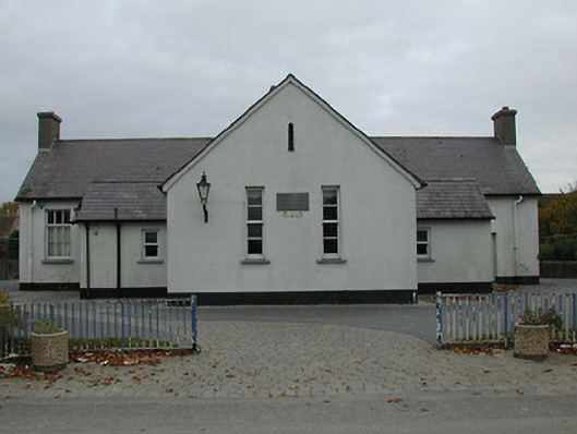 Bennettsbridge National Schoolschool · 828 yd
 Time CapsuleMemorial · 863 yd
 Concentric enclosure in WallsloughConcentric enclosure · 1429 yd
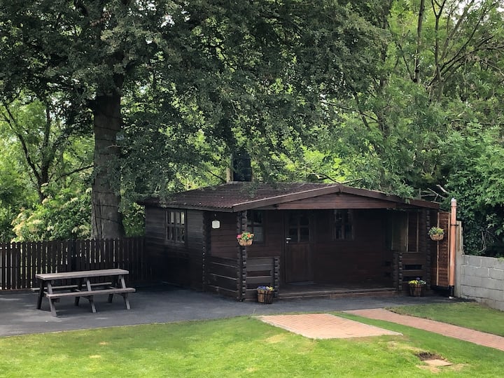 Enclosure in WallsloughEnclosure · 1450 yd
 Dunbell Big RingfortWood · 1517 yd
 Castle (in ruins)Castle, unclassified · 1.1 mi
 CastleCastle, unclassified · 1.3 mi
 Black WalnutBlack Walnut · 1.4 mi
 Kilkenny AirsoftHeritage attraction · 1.4 mi
 Kilbline GraveyardArchaeological place · 2.1 mi
Other information
Photo: Credit not shown in the picture search · Rights wording not checked; contact us if this picture should be removed