
What is recorded here
In reclaimed pasture in limestone terrain.
Not shown on any edition of the OS 6-inch map, but visible in aerial imagery. This monument was levelled in the past. Its original form is now uncertain. It appears to have been circular (diam. approx. 15-18m).
The remains consist of a low D-shaped rise or mound (c. 15m E−W; c. 8m N−S) with poorly defined broadly sloped sides on the curving S side, and bordered on the straight N side by an E−W drystone field wall, which rises up over the contours of the mound. On the E edge of the mound, a stone bank or mound (Wth c. 6m E−W, 2m N−S; H 0.75m) protrudes from beneath the E-W field wall, possibly a remnant of an original enclosing wall/bank.
Attached image:
MA121-202----_01.JPG Possible enclosing bank/wall, viewed from S
Compiled by: Jane O’Shaughnessy
Date of upload: 9 February 2023
The monument record does not grant public access. Check the route and ask the landowner before entering private land.
- What survives
- Recorded monument
Places near here
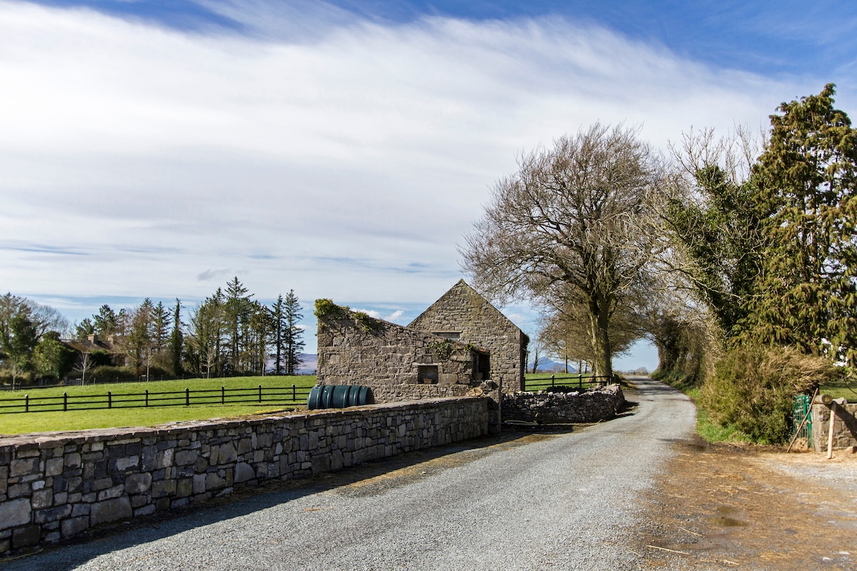 Enclosure in Hundred AcresEnclosure · 242 yd
 IndicatedEnclosure · 368 yd
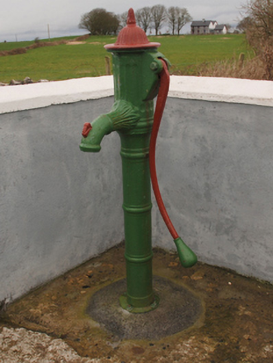 water pumpwater pump · 1087 yd
 Abbey in ruinsReligious house, Franciscan Third Order Regular · 1.0 mi
 Bawn in Cregduff (kilmaine By., Kilmainemore Par.)Bawn · 1.1 mi
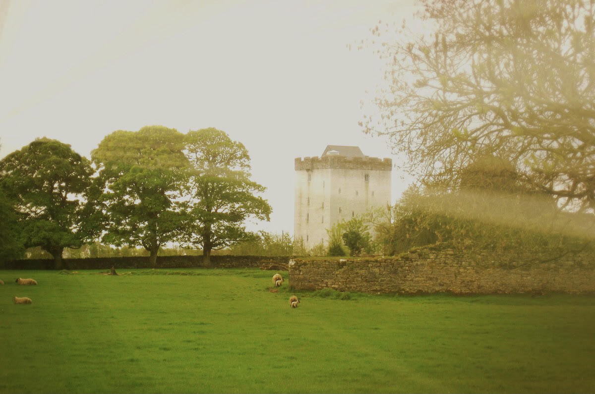 Castle in ruinsCastle, tower house · 1.4 mi
 Cregg PlantationForest · 2.0 mi
 Pesooge PlantationForest · 2.5 mi
 Gibbs IslandsIslet · 4.9 mi
 Red Island RockIslet · 5.6 mi
 School of FalconryHeritage attraction · 7.1 mi
 Ard na GaoitheHeritage attraction · 7.8 mi
Other information
Photo: Credit not shown in the picture search · Rights wording not checked; contact us if this picture should be removed