What is recorded here
In poorly drained, undulating pasture on a low ridge. An enclosure (TS059-038----) is located immediately to the N. This possible enclosure adjoins to the SW. It consists of a curvilinear rise defined by a natural scarp (H 1.4m; max. Wth c. 14m) from NE-WSW, which is reduced to a lower scarp (H c. 1.2m; Wth c. 8m) from SW-WNW. A semi-circular area (dims. c. 34m NNE-SSW; c. 32m ENE-WSW) is defined by the possible remains of a levelled bank (int. H 0.1m; ext. H 0.25m; Wth c. 5m) NE-WSW on the upper surface of the natural rise.
Compiled by: Jean Farrelly
Date of upload: 11 May 2015
The monument record does not grant public access. Check the route and ask the landowner before entering private land.
- What survives
- Recorded monument
Places near here
 Enclosure in Newtown (solloghodbeg Par.)Enclosure · 737 yd
 Soloheadbeg Ambushambush · 964 yd
 Enclosure in Kyle (solloghodbeg Par.),newtown (solloghodbeg Par.)Enclosure · 1325 yd
 CastleCastle, unclassified · 1531 yd
 Soloheadbeg Ambush SiteMemorial · 1572 yd
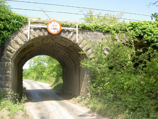 bridgebridge · 1.4 mi
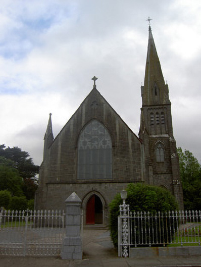 Saint Nicholas's Catholic Churchchurch/chapel · 1.8 mi
 Shanbally fortCastle, ringwork and bailey · 1.9 mi
 I.R.A. 3rd. Tipperary Brigade MemorialMemorial · 3.3 mi
 Oola HillMountain / peak · 3.3 mi
 It's a long way to TippereryHeritage attraction · 3.4 mi
 European ashEuropean ash · 4.1 mi