What is recorded here
Listed as an 'enclosure' in the SMR (1986) based on aerial photographic evidence (GSI N 333/2 (1973)). In forestry, on undulating terrain overlooking a ravine on the Wicklow/Kildare border. Pond adjacent to E.
Compiled by: Matt Kelleher
Date of upload: 04 December 2012
The monument record does not grant public access. Check the route and ask the landowner before entering private land.
- What survives
- Recorded monument
Places near here
 Rath Turtle MoatFairy fort / ringfort · 335 yd
 Deer Park PlantationForest · 508 yd
 Enclosure in NewtownparkEnclosure · 887 yd
 Blessington DemesneWood · 1300 yd
 CastleCastle, unclassified · 1471 yd
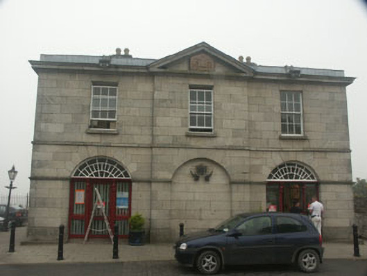 Blessington Market Housemarket house · 1.2 mi
 The Square RenewalMemorial · 1.2 mi
 Ulster Bankhouse · 1.2 mi
 Dame Ninette de ValoisMemorial · 1.3 mi
 Castle (in ruins)Castle, tower house · 2.1 mi
 Cupidstown HillMountain / peak · 4.0 mi
 Lacken – Mass Path LoopWalking route · 4.0 mi