
What is recorded here
Indicated as a D-shaped enclosure (dims. c. 54m NW-SE; c. 46m NE-SW) on the 1st (1839) ed. OS 6-inch map and on the 189901902 revision. On both maps a field boundary is indicated running for a short length northeastward from the NW angle and another field boundary is shown running NW-SE along the S perimeter, either incorporating or truncating it. The latter field boundary is still upstanding by the enclosure has been levelled and is visible as a cropmark on satellite imagery (Google Earth, imagery date 14 July 2018).
See attached:
KK024-067----_01 satellite imagery (Google Earth, imagery date 14 July 2018)
Compiled by: Jean Farrelly
Date of upload: 6 October 2021
The monument record does not grant public access. Check the route and ask the landowner before entering private land.
- What survives
- Recorded monument
Places near here
 Lime KilnArchaeological place · 376 yd
 IndicatedEnclosure · 552 yd
 barnbarn · 638 yd
 Castlefield Housecountry house · 697 yd
 BogForest · 1015 yd
 CastleCastle, motte · 1040 yd
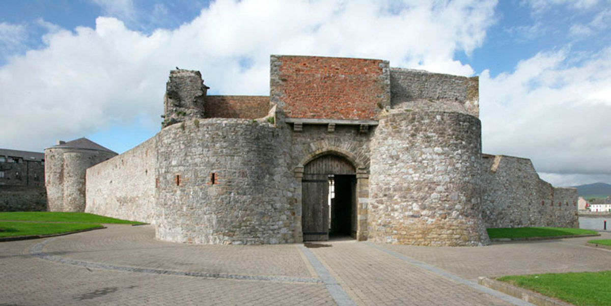 Site of Dungarvan CastleCastle, tower house · 1214 yd
 The Pey FieldForest · 1324 yd
 Tullaherin Church and Round TowerVisitor information · 1643 yd
 Stroan FountainVisitor information · 1.7 mi
 Kilbline GraveyardArchaeological place · 2.0 mi
 Time CapsuleMemorial · 3.0 mi
Other information
Photo: Credit not shown in the picture search · Rights wording not checked; contact us if this picture should be removed