What is recorded here
An enclosure (diam. c. 30m) visible as a cropmark on aerial photographs (ASIAP (19) 17, 20-21, 2 August 1996).
Compiled by: Jean Farrelly
Date of upload: 31 August 2015
The monument record does not grant public access. Check the route and ask the landowner before entering private land.
- What survives
- Recorded monument
Places near here
 Enclosure in ConnahyEnclosure · 527 yd
 CastleCastle, unclassified · 805 yd
 IndicatedEnclosure · 888 yd
 Foulksrath CastleCastle, tower house · 1599 yd
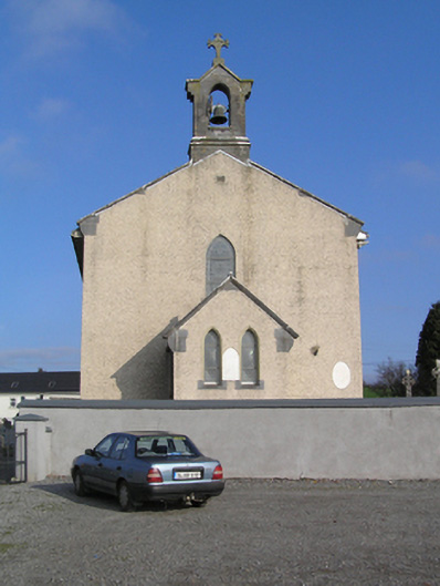 Saint Colman's Catholic Churchchurch/chapel · 1.1 mi
 Coolcraheen Church (in ruins)Church · 1.2 mi
 Donaghmore WellSpring · 1.3 mi
 Saint Coleman's WellSpring · 2.2 mi
 Jenkinstown ParkForest · 2.9 mi
 Graveyard in ThreecastlesGraveyard · 3.5 mi
 Turkey OakTurkey Oak · 3.7 mi
 Anker's IslandIsland · 3.9 mi