What is recorded here
Marked on the 1841 and 1908 editions of the OS 6-inch maps; a roughly oval enclosure (max. dim. c. 30m NW-SE). Visible on aerial photographs (GSI, S 76-7). No visible surface remains.
Aerial photograph (GB90.CN.16) shows a curvilinear enclosure defined by a fosse and with a narrower concentric outer fosse.
The above aerial report has been compiled by Dr. G.F. Barrett and supplied to the Archaeological Survey of Ireland.
Date of this report: 02 February 2010
The above description is derived from the published 'Archaeological Inventory of County Laois' (Dublin Stationery Office, 1995) compiled by P. David Sweetman, Olive Alcock and Bernie Moran. In certain instances the entries have been revised and updated in the light of recent research.
Compiled by Caimin O'Brien
Date of upload/revision : 13 August 2010
The monument record does not grant public access. Check the route and ask the landowner before entering private land.
- What survives
- Recorded monument
Places near here
 Donaghmore Castle ruinsCastle · 182 yd
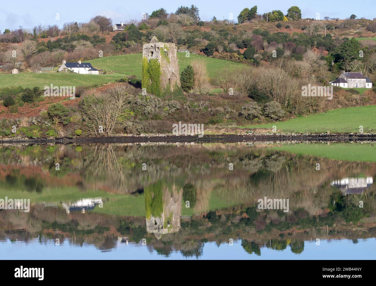 Enclosure in Raheen UpperEnclosure · 1334 yd
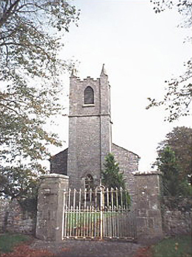 Saint Patrick's Church (Donaghmore)church/chapel · 1469 yd
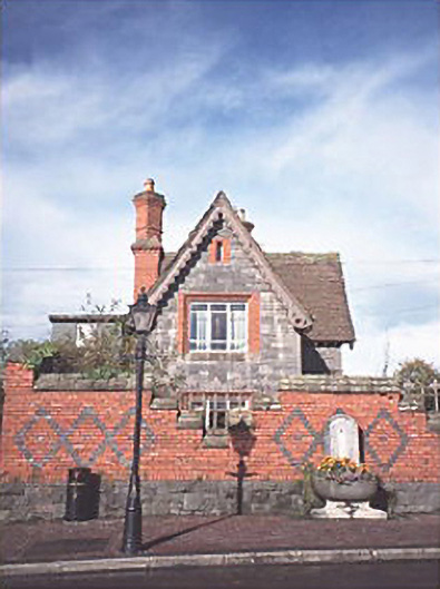 The Lodgegate lodge · 1482 yd
 Enclosure in BallycoolidEnclosure · 1577 yd
 Donaghmore MoatCastle, motte · 1667 yd
 Big WoodWood · 3.7 mi
 European PearEuropean Pear · 4.6 mi
 Cnoc SeanrathaMemorial · 4.7 mi
 DelaneyMemorial · 8.2 mi
 Anker's IslandIsland · 10 mi
 Roscrea Petty Sessions HouseHeritage attraction · 11 mi