What is recorded here
Situated on a knoll at the bottom of the NW-facing slope of a N-S drumlin ridge. This is a raised subcircular, grass-covered platform (dims of top 46.7m N-S; 41m E-W) that slope down slightly from E to S and W. It is defined by scarps (Wth 4.8-5.2m normally to 7m at E; H 1.2-1.3m normally to 1.8m at E), with slight traces of a berm (Wth 2m) at the base of the scarp at E. There is no visible bank, fosse or entrance, although the perimeter is poorly defined ESE-SSE (L 18m) and an entrance may have been at this point. It is clearly visible on Bing images (2013).
Compiled by: Michael Moore
Date of upload: 28 April, 2015
The monument record does not grant public access. Check the route and ask the landowner before entering private land.
- What survives
- Recorded monument
Places near here
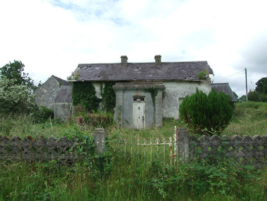 Carn Lodgehouse · 114 yd
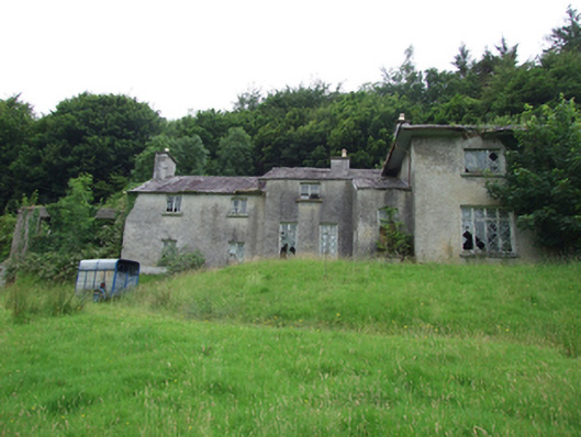 Carn Cottagehouse · 436 yd
 TobermogueHoly well · 1261 yd
 ClonkeenMountain / peak · 1.8 mi
 IndicatedFairy fort / earthen ringfort · 1.9 mi
 Bilberry HillMountain / peak · 1.9 mi
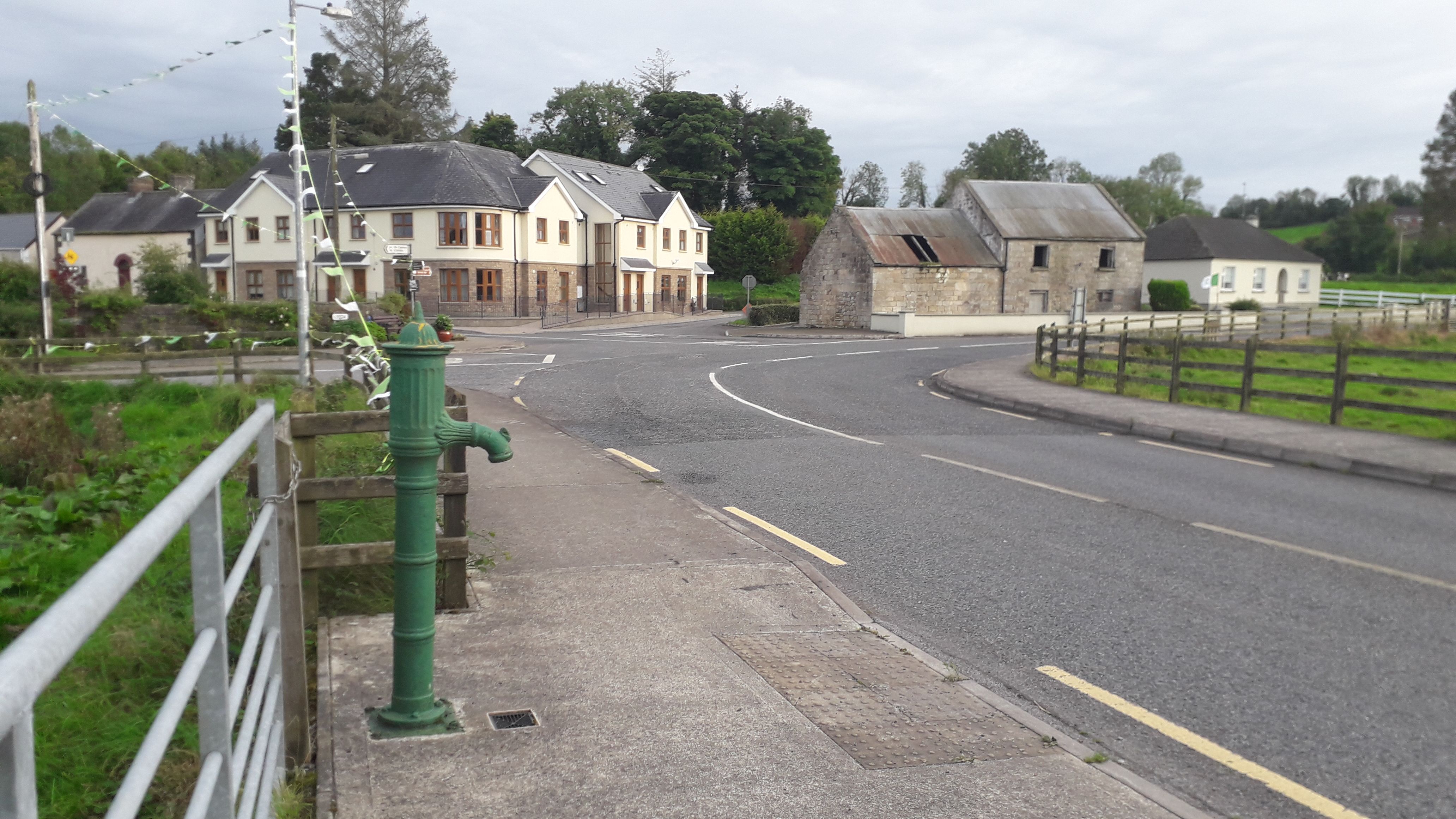 Milltown NorthWood · 2.1 mi
 Drumbagh ForestForest · 2.4 mi
 CastleCastle, unclassified · 2.8 mi
 Kieran Doherty TD Cavan Monaghan MemorialMonument · 3.0 mi
 Drumlane AbbeyHeritage attraction · 3.1 mi
 Killycluggin StoneVisitor information · 3.7 mi