
What is recorded here
Situated on a locally prominent hillock in a fairly level landscape. A linear fosse (L c. 50m) aligned NW-SE is depicted only on the 1912 edition of the OS 6-inch map. The fosse (at S: Wth of top 8m; int. D 2.7m; ext. D 0.7m) is curving around the base of the hill SE-W but it cannot be traced elsewhere. It may have been an outer defence for the rectangular mound (dims of base 23m N-S; c. 14m E-W; H 1.7m) at the hilltop.
The above description is derived from the published 'Archaeological Inventory of County Meath' (Dublin: Stationery Office, 1987). In certain instances the entries have been revised and updated in the light of recent research.
Compiled by: Michael Moore
Date of revision: 5 July 2019
Amended: 24 March 2023
The monument record does not grant public access. Check the route and ask the landowner before entering private land.
- What survives
- Recorded monument
Places near here
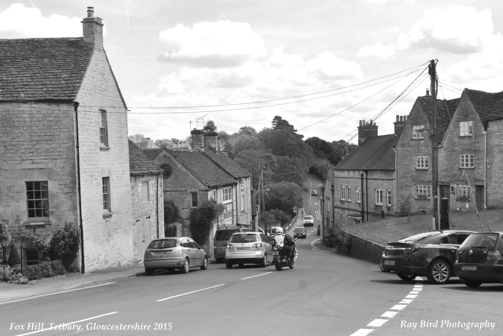 Fox HillEnclosure · 1398 yd
 CastleCastle, unclassified · 1.2 mi
 Enclosure in Castletown (moyfenrath Lower By.)Enclosure · 1.3 mi
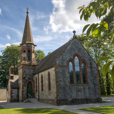 Church in BrannockstownChurch · 1.5 mi
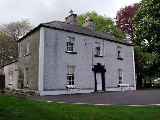 Fosterstown Housecountry house · 1.6 mi
 Trim CastleCastle, Anglo-Norman masonry castle · 2.4 mi
 Saints IslandForest · 3.1 mi
 Wych ElmWych Elm · 3.5 mi
 Old Bog Road made famous by Teresa Bryton 1868-1943Memorial · 7.4 mi
 Cloncurry GraveyardHeritage attraction · 7.5 mi
 Croppies' GraveMemorial · 9.5 mi
 Mass was there in Penal TimesMemorial · 11 mi
Other information
Photo: Credit not shown in the picture search · Rights wording not checked; contact us if this picture should be removed