What is recorded here
On the gently sloping N side of a roughly E-W river valley, on dry ground in otherwise marshy terrain which has been reclaimed. There are fair to good views in all directions within the valley. Identified as a circular cropmark of three concentric fosses on an aerial photograph (GSI S478, 1973-7). Though levelled, the monument is still visible at ground level as a flat circular area (diam. 49m) defined by scarp (H c. 0.2m), enclosed by a fosse (Wth c. 3m; D c. 0.3m) and outer bank (ext. H 0.1m; Wth 5m). There appears to be a causewayed entrance at the S. The cropmark indicates that there was another fosse and, particularly visible in the N-NE and SE, a further outer bank and outer fosse.
See attached satellite imagery (OS Ortho, viewed 29 June 2020).
Compiled by: Jean Farrelly
Date of upload: 29 June 2020
The monument record does not grant public access. Check the route and ask the landowner before entering private land.
- What survives
- Recorded monument
Places near here
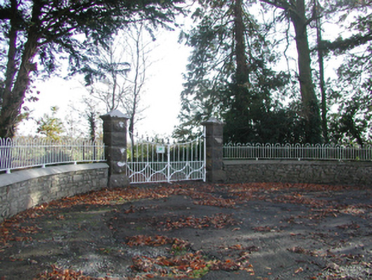 Curragh Housegates/railings/walls · 472 yd
 CastleCastle, unclassified · 861 yd
 Enclosure in TrenchardstownEnclosure · 1004 yd
 IndicatedEnclosure · 1308 yd
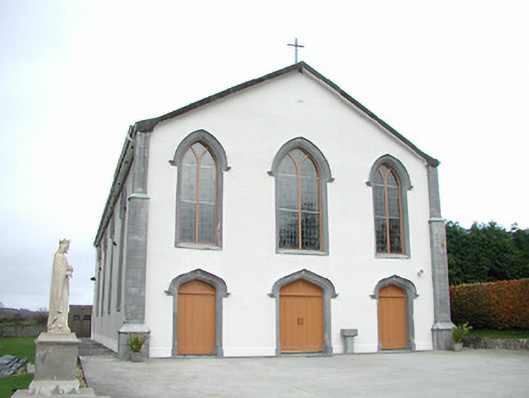 Catholic Church of the Assumptionchurch/chapel · 1.1 mi
 Killahy Castle in ruinsCastle, unclassified · 1.9 mi
 Killeen Fox CovertForest · 1.9 mi
 Kildrinagh WoodForest · 2.6 mi
 Warhouse HillMountain / peak · 3.8 mi
 Ballykeeffe Mass RockNamed rock · 4.2 mi
 Ballykeefe AmphitheatreHeritage attraction · 4.4 mi
 Ballykeefe QuarryCliff · 4.4 mi