What is recorded here
In pasture, on a broad, natural ridge (long axis c. E-W). No visible surface trace. Depicted on latest edition OS 6-inch map as a circular area (diam. c. 18m). Ridge is defined by a natural scarp all around which is best defined (Wth 10m; H 1.7m) at W where monument is recorded.
Compiled by: Jean Farrelly
Date of upload: 26 August 2011
The monument record does not grant public access. Check the route and ask the landowner before entering private land.
- What survives
- Recorded monument
Places near here
 IndicatedEnclosure · 745 yd
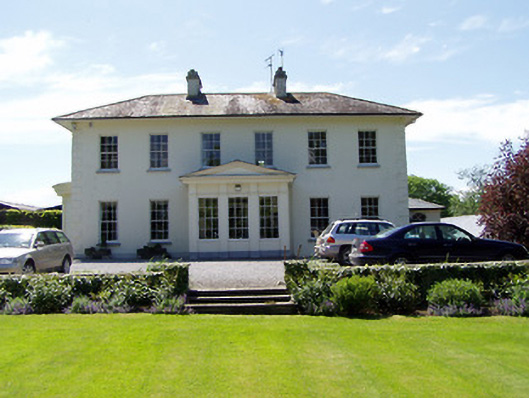 Camus Parkcountry house · 1511 yd
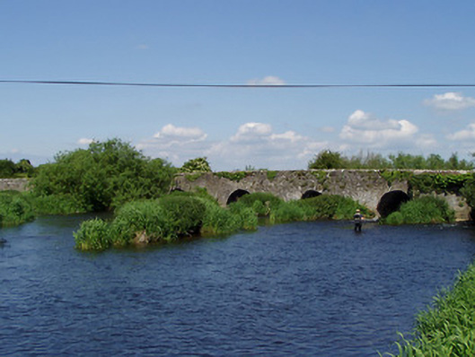 Camus Bridgebridge · 1650 yd
 Camus Castle (in ruins)Castle, unclassified · 1653 yd
 Site of ChurchChurch · 1.0 mi
 Hore AbbeyHeritage attraction · 1.2 mi
 Rock of CashelHeritage attraction · 1.3 mi
 Castle in RuinsHouse, fortified house · 1.3 mi
 The Rock Of CashelVisitor information · 1.4 mi
 Black mulberryBlack mulberry · 1.5 mi
 Ballyknock HillMountain / peak · 1.8 mi
 European ashEuropean ash · 3.9 mi