
What is recorded here
In average pasture in gently undulating terrain.
Not shown on any edition of the OS 6-inch maps. Visible in aerial photographs (CUCAP AYR 85 & 86; SMR file).
Oval enclosure (31.6m WNW−ESE; 42m NNE−SSW) defined by a drystone wall. At SSE−SSW where the enclosing wall serves as a property/townland boundary, it is high, roughly coursed (Wth 0.7m; H 1.8m) with a coping of contiguous stones set on edge, and appears to rest on a rough plinth of stones and boulders. At SW−ENE the wall is reduced to a low sod-covered stone ‘bank’ (Wth 3.4m; H 0.4-0.6m). On the E−SE arc there is an upstanding roughly constructed wall. There is a break (Wth 10m) at NNE. The interior is not raised above surrounding ground level; the surface is uneven and stone-strewn.
Immediately to N and NE is an area (c. 20-25m across) of uneven stony ground, with hollows and exposed seams of limestone, which appear to have been quarrying. Towards the N edge of this area, there is a rough poorly defined rectangular feature (c. 10m E−W; 5m N−S), possibly remnants of an 18/19th century house.
Compiled by: Jane O’Shaughnessy
Date of upload: 30 May 2023
The monument record does not grant public access. Check the route and ask the landowner before entering private land.
- What survives
- Recorded monument
Places near here
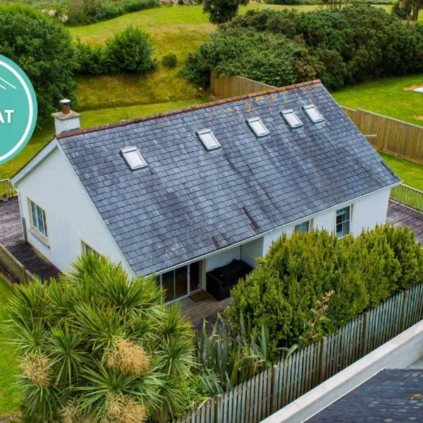 IndicatedFairy fort / earthen ringfort · 441 yd
 ToberglassanHoly well · 753 yd
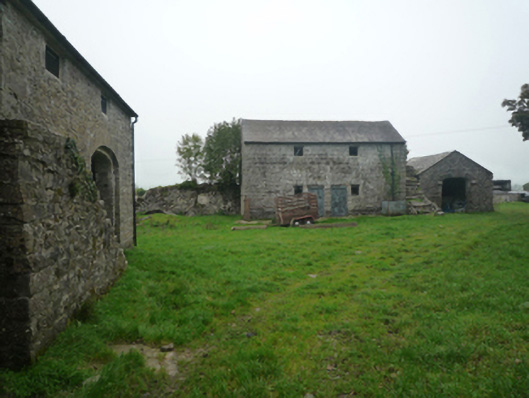 Bushfieldfarmyard complex · 912 yd
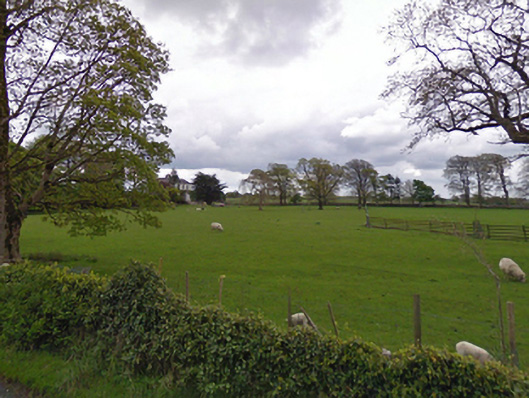 rectory/glebe/vicarage/curate's houserectory/glebe/vicarage/curate's house · 1046 yd
 Castle in ruinsCastle, unclassified · 2.1 mi
 Bunacrower CastleCastle · 2.4 mi
 SycamoreSycamore · 3.6 mi
 European YewEuropean Yew · 4.2 mi
 Mass RockNamed rock · 9.4 mi
 Red Island RockIslet · 11 mi
 School of FalconryHeritage attraction · 11 mi
 Oileán na nAnamIslet · 11 mi
Other information
Photo: Credit not shown in the picture search · Rights wording not checked; contact us if this picture should be removed