What is recorded here
A series of four shallow circular depressions is located on the SE edge of Beginish Island, midway between Cruppaunroe and Canroe, just below the last modern field boundary. Two depressions at N occur 2.4m apart and a further two, located 12m to S, are set 6m apart.
(4) KE079-057003-; The SW depression measures 3m N-S x 3.2m E-W in diameter and its saucer-shaped interior is .25m below surrounding ground level. Remnants of a possible bank occur along its S edge.
The above description is derived from A. O'Sullivan and J. Sheehan (compilers), 'The Iveragh peninsula: an archaeological survey of South Kerry'. Cork University Press (1996), no. 1478. In certain instances the entries have been revised and updated in the light of recent research.
Date of upload: 1 August 2013
The monument record does not grant public access. Check the route and ask the landowner before entering private land.
- What survives
- Recorded monument
Places near here
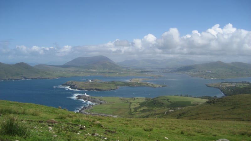 Enclosure in Beginish (iveragh By.)Enclosure · 11 yd
 Beginish IslandIsland · 333 yd
 Church in Beginish (iveragh By.)Church · 345 yd
 Field system in Beginish (iveragh By.)Field system · 961 yd
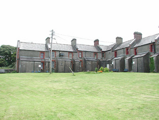 coastguard stationcoastguard station · 1132 yd
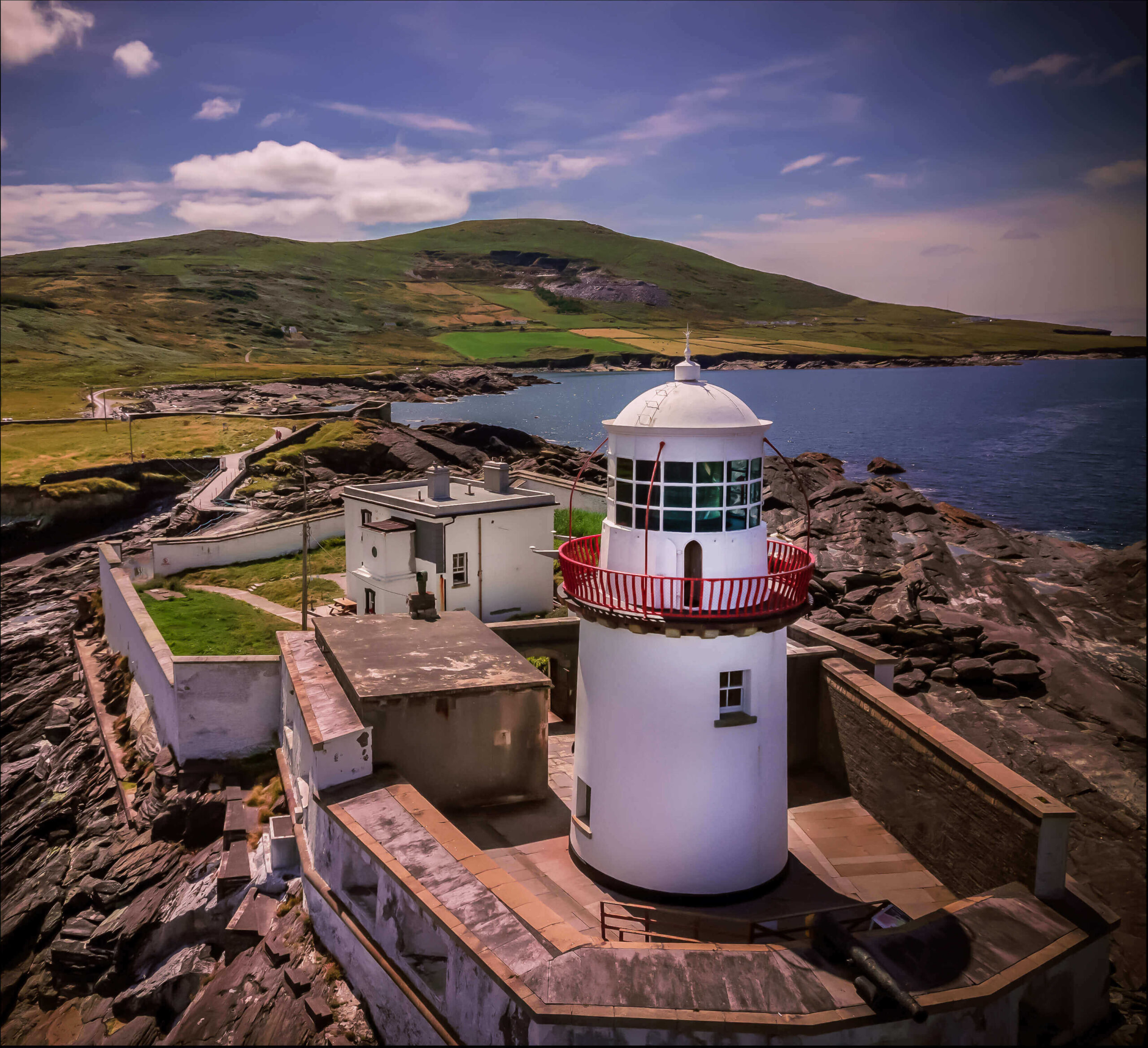 Valentia Island LighthouseMuseum · 1.0 mi
 Cromwell PointHeadland · 1.0 mi
 Norfolk Island AraucariaNorfolk Island Araucaria · 1.1 mi
 Silver tree fernSilver tree fern · 1.1 mi
 White Strand BeachBeach / strand · 1.1 mi
 Kilbeg MountainMountain / peak · 1.2 mi
 Killelan MountainMountain / peak · 1.6 mi