
What is recorded here
Four huts occur within an old field system (KE079-027----) that stretches from Goat's Rock to the Pilot's Lookout on the W side of Beginish Island. The huts appear to be associated with a large, poorly preserved enclosure that incorporates Goat's Rock, a large natural outcrop, on its E side.
(1) (KE079-027001-) Outside the enclosure at S is a circular arrangement of slabs set on edge with a possible entrance at W. D: 2.9m.
(2) (KE079-027005-) A rectangular arrangement of stones, open to the S, 6m S of (1). D: 2m x 1.6m. H: .3m.
(3) (KE079-027004-) Abutting the enclosure at N, the rectangular foundations of a hut open at SW. D: 3.6m x 2.75m.
(4) Built into the rock-face, a probable sheepfold.
The above description is derived from A. O'Sullivan and J. Sheehan (compilers), 'The Iveragh peninsula: an archaeological survey of South Kerry'. Cork University Press (1996), no. 1131. In certain instances the entries have been revised and updated in the light of recent research.
Date of upload: 31 July 2013
The monument record does not grant public access. Check the route and ask the landowner before entering private land.
- What survives
- Recorded monument
Places near here
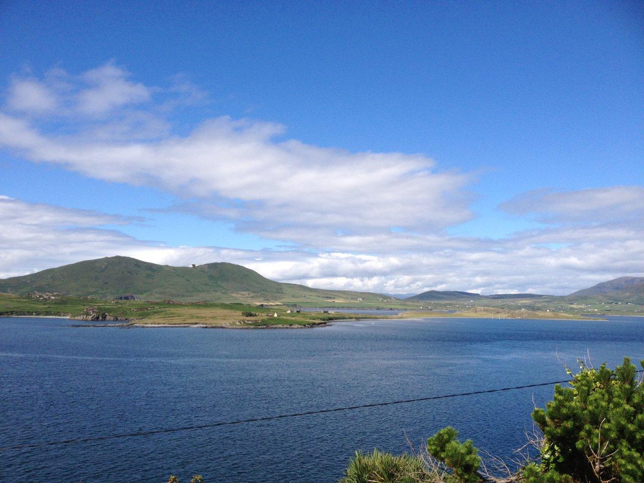 Enclosure in Beginish (iveragh By.)Enclosure · 162 yd
 Beginish IslandIsland · 633 yd
 Church in Beginish (iveragh By.)Church · 765 yd
 Cromwell Point LighthouseLighthouse · 1053 yd
 Cromwell PointHeadland · 1066 yd
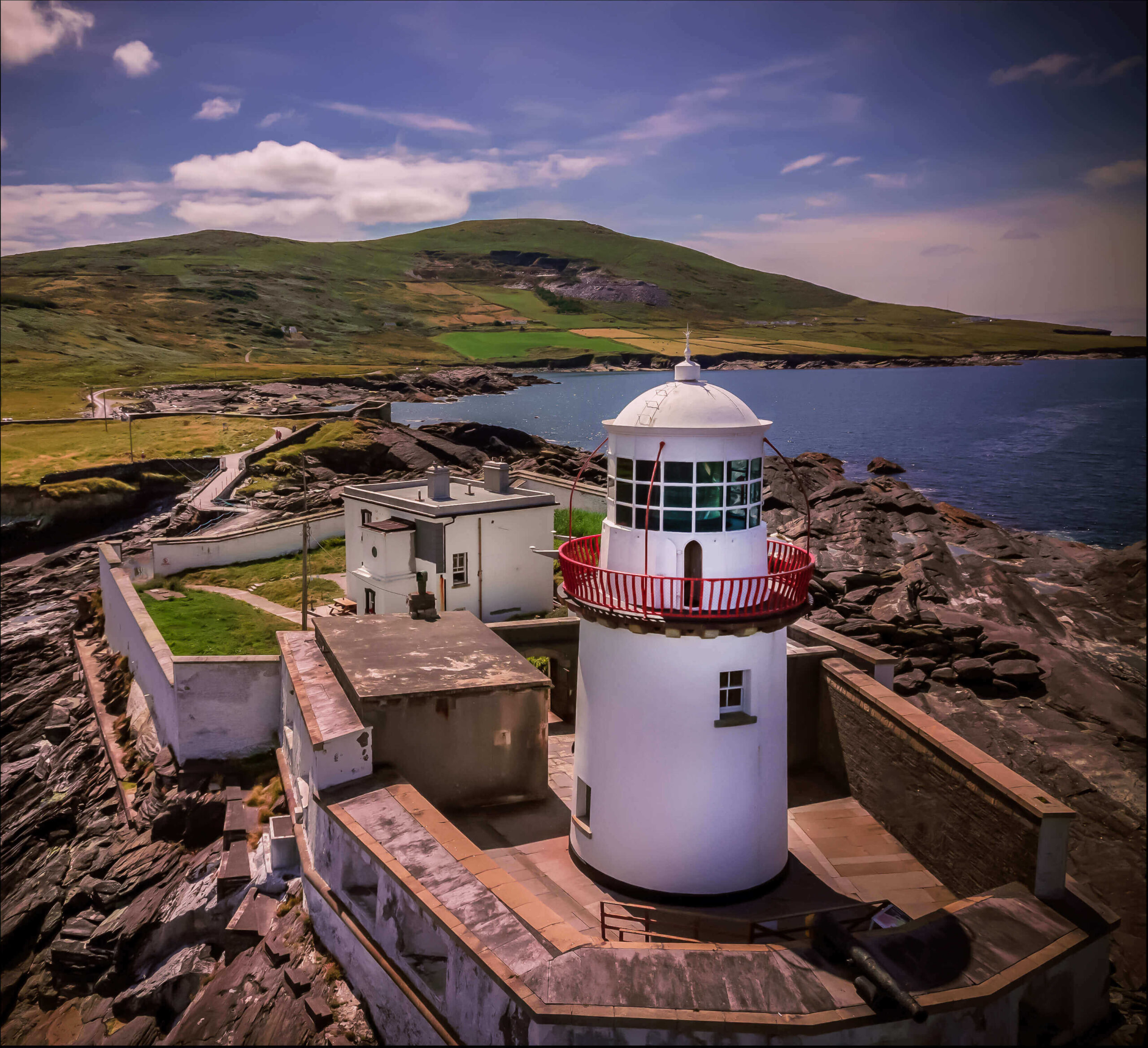 Valentia Island LighthouseMuseum · 1086 yd
 Cromwells FortBastioned fort · 1208 yd
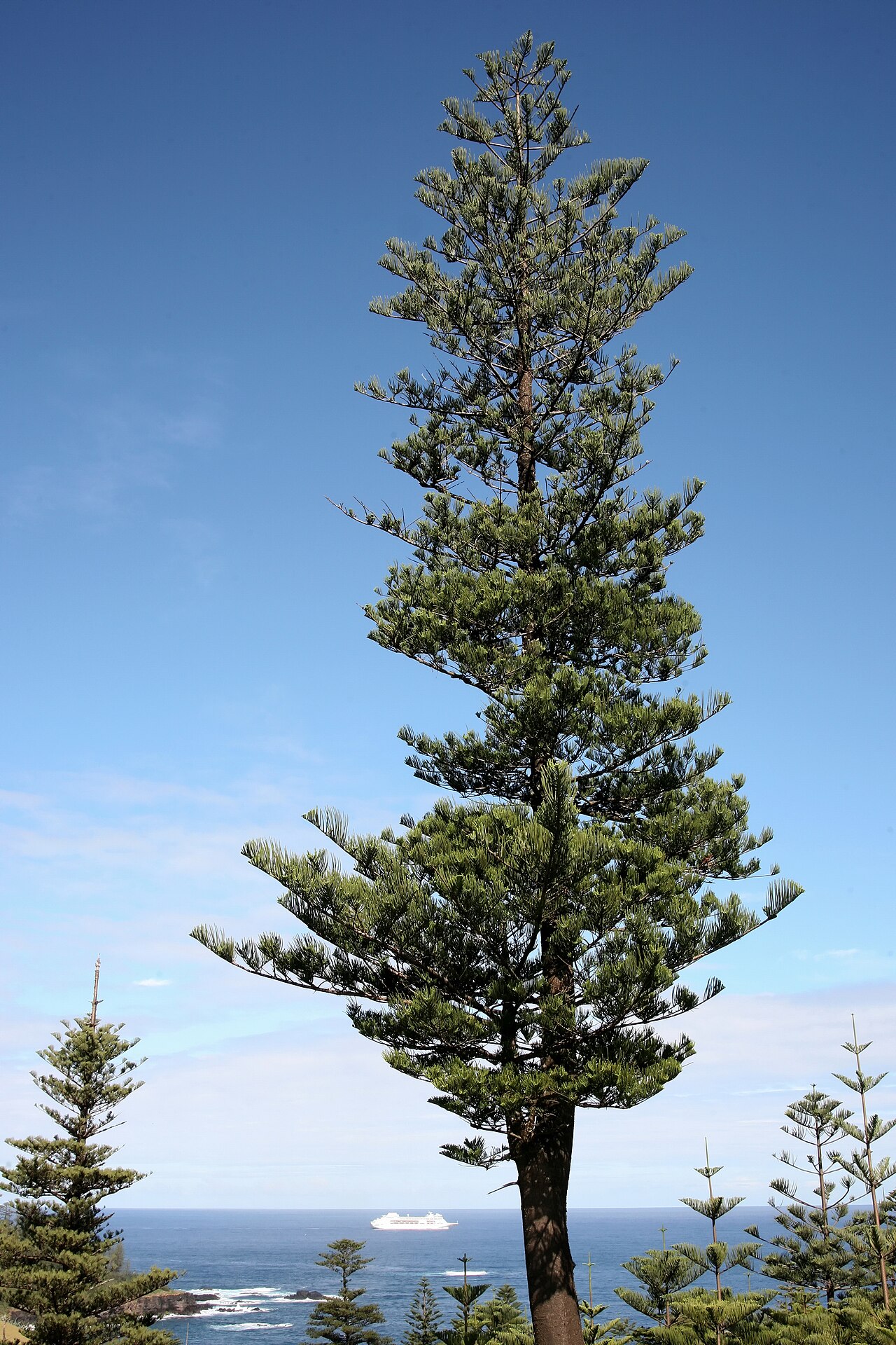 Norfolk Island AraucariaNorfolk Island Araucaria · 1664 yd
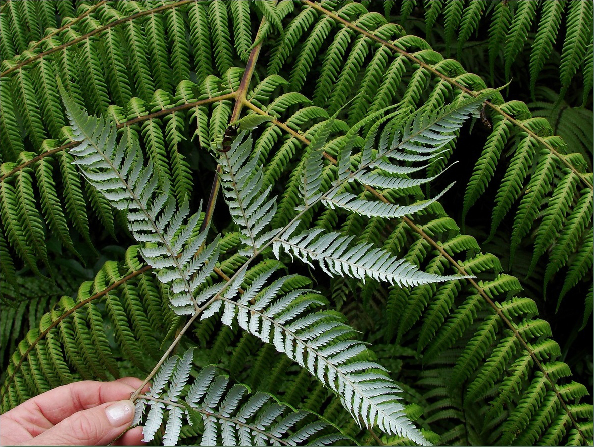 Silver tree fernSilver tree fern · 1666 yd
 Kilbeg MountainMountain / peak · 1.3 mi
 Killelan MountainMountain / peak · 1.3 mi
 White Strand BeachBeach / strand · 1.5 mi
Other information
Photo: Credit not shown in the picture search · Rights wording not checked; contact us if this picture should be removed