What is recorded here
Aerial photograph (GB89.N.06) shows cropmark of an incomplete enclosure defined by a fosse.
Compiled by: Dr Gillian Barrett for the Archaeological Survey of Ireland.
Date of upload: 10 June 2009
The monument record does not grant public access. Check the route and ask the landowner before entering private land.
- What survives
- Recorded monument
Places near here
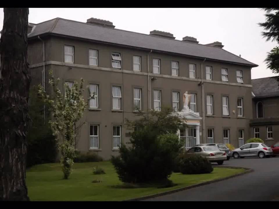 Enclosure in Beaumont (duleek Upper By.)Enclosure · 304 yd
 Beaumont Br.Bridge · 827 yd
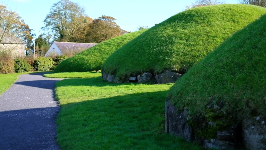 Enclosure in Newhaggard (duleek Upper)Enclosure · 1239 yd
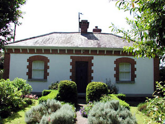 The Herd Cottageworker's house · 1292 yd
 CastleCastle, unclassified · 1405 yd
 Common LimeCommon Lime · 2.3 mi
 Platin HouseCastle, unclassified · 2.4 mi
 Newgrange Business ParkMemorial · 3.2 mi
 Battle of Julianstownbattle · 3.4 mi
 Glenmore ForestWood · 4.1 mi
 Brú na Bóinne Visitor Centre AccessHeritage attraction · 4.3 mi
 Brú na Bóinne Visitors CentreVisitor information · 4.4 mi