What is recorded here
An aerial photograph (GB90.AC.04) shows the cropmark of a curvilinear enclosure (dims. c. 40m) defined by a fosse.
Compiled by: Jean Farrelly
Date of upload: 26 August 2011
The monument record does not grant public access. Check the route and ask the landowner before entering private land.
- What survives
- Recorded monument
Places near here
 Settlement desertedSettlement deserted, medieval · 784 yd
 Barrettstown CastleCastle · 925 yd
 Derryluskan Househouse · 1538 yd
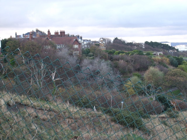 former site of a Ring FortArchaeological place · 1.0 mi
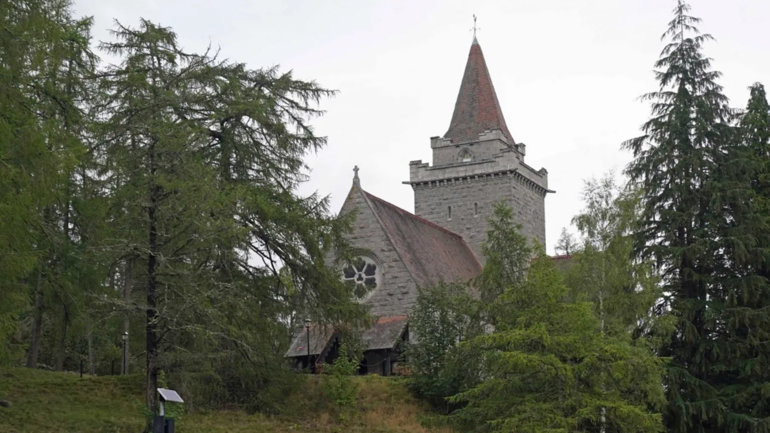 Redcity Church (in ruins)Church · 1.1 mi
 Tullamain MoatCastle, motte and bailey · 1.6 mi
 European YewEuropean Yew · 2.0 mi
 East GateMemorial · 2.2 mi
 Kilknockan HillMountain / peak · 2.6 mi
 Grove WoodForest · 2.7 mi
 IndicatedRoad, road/trackway · 1.3 mi
 kilnkiln · 1.3 mi