What is recorded here
Visible on a 1969 aerial photograph (CUCAP AYN 7) as the cropmark of a fosse enclosing a small circular area (est. max. diam. c. 25m).
Compiled by: Gearóid Conroy
Date of upload: 19 February 2013
The monument record does not grant public access. Check the route and ask the landowner before entering private land.
- What survives
- Recorded monument
Places near here
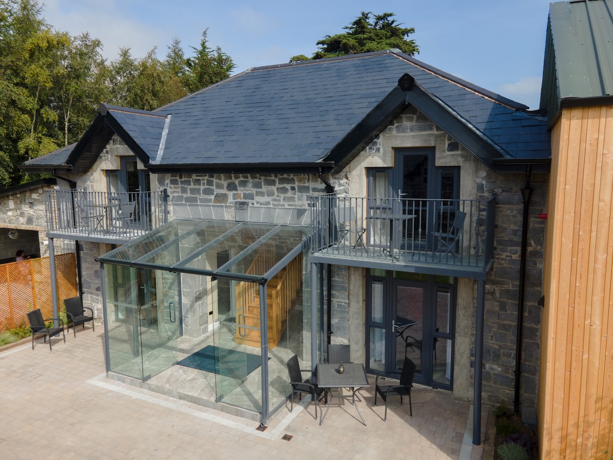 Enclosure in BallysaxhillsEnclosure · 268 yd
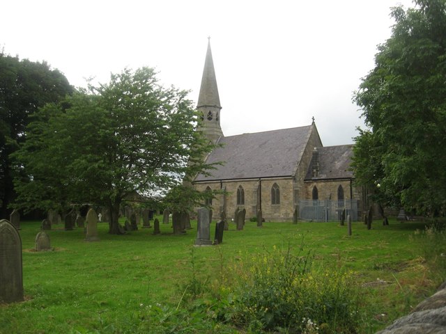 Church in Ballysax GreatChurch · 901 yd
 Enclosure in Moortown (ballysax East Ed)Enclosure · 1219 yd
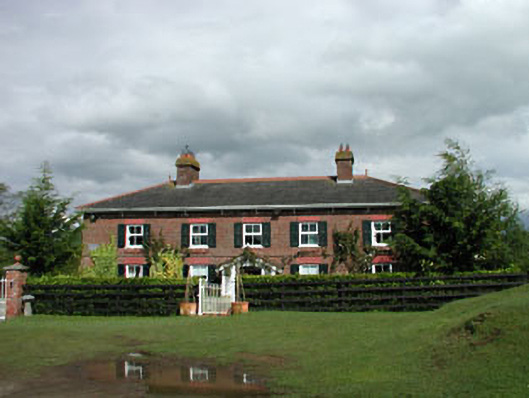 Sunnyhill Cottagehouse · 1344 yd
 ElderElder · 1.1 mi
 Castle in RuinsCastle, tower house · 1.1 mi
 Blackhall CastleCastle, tower house · 3.8 mi
 Newbridge SilverwareMuseum · 4.0 mi
 Narraghmore Nature ReserveForest · 4.6 mi
 Japanese GardensHeritage attraction · 4.8 mi
 Battle of Kilrushbattle · 4.8 mi
 History of Moat of ArdscullVisitor information · 8.2 mi