What is recorded here
On a very gentle E-facing slope on high ground which falls E towards the Nore river valley, in lush meadow. The views are very good to the S, otherwise fair N and E and poor to W. An aerial photograph (GB90.BM.06, 14 July 1990) shows cropmark of a circular enclosure (diam. c. 35m N-S; c. 39m E-W) defined by a fosse. The monument is not visible at ground level.
Compiled by: Jean Farrelly
Date of revised upload: 6 June 2017
The monument record does not grant public access. Check the route and ask the landowner before entering private land.
- What survives
- Recorded monument
Places near here
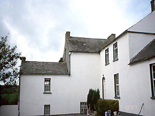 Grennan Househouse · 458 yd
 Enclosure in BallynasleeEnclosure · 553 yd
 Church (in ruins)Church · 558 yd
 Enclosure in GrenanEnclosure · 650 yd
 Anker's IslandIsland · 1.0 mi
 CastleCastle, motte · 1.1 mi
 Moat Castle (site of)Archaeological place · 1.8 mi
 Graveyard in SraleaghGraveyard · 2.5 mi
 Donaghmore WellSpring · 3.7 mi
 1798 MonumentMemorial · 4.0 mi
 Common LimeCommon Lime · 4.3 mi
 Pedunculate OakPedunculate Oak · 4.5 mi