What is recorded here
Aerial photograph (GB90.CE.18) shows cropmark of an incomplete curvilinear enclosure defined by a fosse. First recorded as a positive cropmark in July 1990. The potential enclosure is cut by the modern field boundary.
The above report has been compiled by Dr. G.F. Barrett and supplied to the Archaeological Survey of Ireland.
Date of this report: 14 December 2009
Compiled by Caimin O'Brien
Date of upload / revision : 14 August 2010
The monument record does not grant public access. Check the route and ask the landowner before entering private land.
- What survives
- Recorded monument
Places near here
 Church (in ruins)Church · 409 yd
 Enclosure in BallynasleeEnclosure · 558 yd
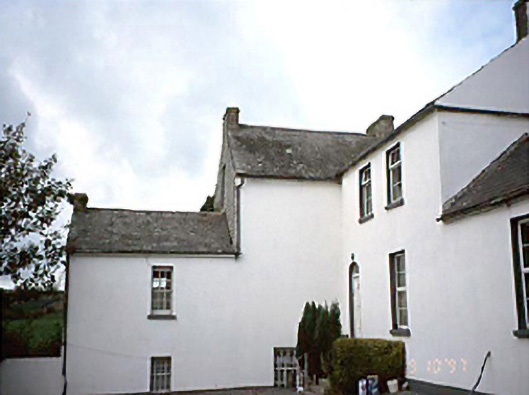 Grennan Househouse · 862 yd
 Anker's IslandIsland · 1313 yd
 CastleCastle, motte · 1374 yd
 Ballynaslee RingfortArchaeological place · 1639 yd
 Moat Castle (site of)Archaeological place · 1.5 mi
 Graveyard in SraleaghGraveyard · 2.1 mi
 Donaghmore WellSpring · 3.3 mi
 1798 MonumentMemorial · 4.1 mi
 Common LimeCommon Lime · 4.3 mi
 Pedunculate OakPedunculate Oak · 4.7 mi
Other information
Photo: Credit not shown in the picture search · Rights wording not checked; contact us if this picture should be removed