What is recorded here
Represented on the OS 6-inch 1st ed. map (surveyed 1840) as a single-banked circular enclosure and on the OS 25-inch survey (1897) by a single row of hachures indicating a raised platform mound covered in scrub (c. 22m in diameter). Investigations of this monument were undertaken in 1956 prior to its demolition as part of the works associated with the construction of surrounding housing scheme (pers. comm. Jeffrey A. Tolbert).
Compiled by: Paul Walsh
Date of upload: 19 August 2015
The monument record does not grant public access. Check the route and ask the landowner before entering private land.
- What survives
- Recorded monument
Places near here
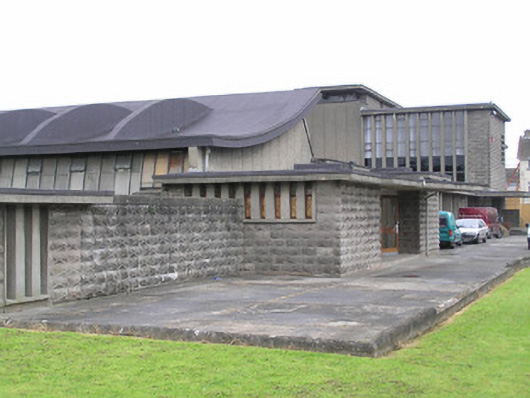 Saint Munchin's Girls' National Schoolschool · 230 yd
 Site of CastleCastle, unclassified · 330 yd
 St. Bridgets Burial GroundBurial ground · 396 yd
 Church in Limerick City,glebe (limerick Municipal Borough)Church · 597 yd
 Bastioned fort in Farranshone Beg,farranshone MoreBastioned fort · 949 yd
 Site of Cromwell's FortFort · 1252 yd
 King's IslandIsland · 1537 yd
 The Treaty StoneMemorial · 1560 yd
 King John's CastleHeritage attraction · 1705 yd
 Michael HoganMemorial · 1709 yd
 Curragower FallsWaterfall · 1753 yd
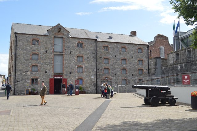 King John's Visitor's CentreMuseum · 1757 yd