What is recorded here
On a flat break of a NE-facing slope, land falls steeply to plain of the Aherlow River to the NE and rises to the SW. In rough ground. A roadway has been constructed along the S field boundary to give access to gravel extraction. Knockgraffon motte (TS075-019001-) is visible c. 1.5km to the ENE. According to Tipperary South Riding County Museum files this monument was bulldozed in the 1960s. There is no visible trace at ground level, however, it probably occupied the flat area near the edge of the scarp, a very commanding location. According to the 2nd (1901-05) ed. OS 6-inch map the enclosure was roughly oval in shape (dims. c. 33m NW-SE; c. 23m NE-SW) and defined by scarp. A field boundary, now removed, ran along the NE edge of the enclosure. In the NE quadrant a deep rectangular pit has been excavated (c. 1m x 2.5-3m; c. 3m D), possibly a test pit for further gravel extraction. The interior is very wet and spongy.
Compiled by: Jean Farrelly
Date of upload: 07 April 2014
This remains an important historical record, but the official description says the monument is no longer visible or has been destroyed. The monument record does not grant public access. Check the route and ask the landowner before entering private land.
- What survives
- No visible remains or recorded as destroyed
Places near here
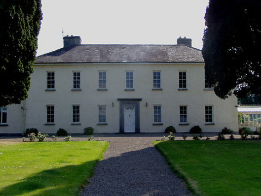 Ballydrehid Housecountry house · 546 yd
 Ballydrehid National Schoolschool · 893 yd
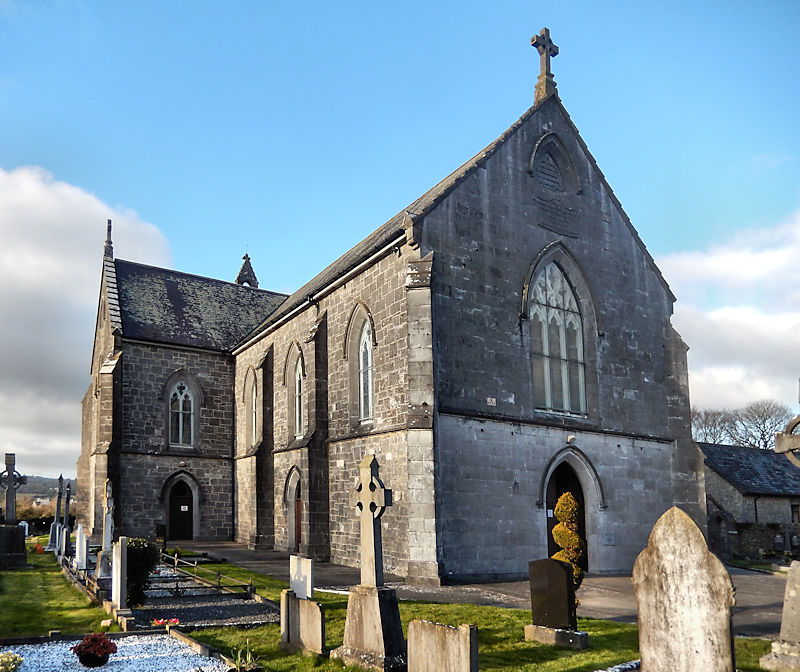 RathwealCastle, ringwork · 1110 yd
 Knockgraffon MoatCastle, motte and bailey · 1660 yd
 Enclosure in KnockgraffonEnclosure · 1662 yd
 Knockgraffon MotteArchaeological place · 1681 yd
 Caucasian zelkovaCaucasian zelkova · 1.6 mi
 Slieveanard NE TopMountain / peak · 2.0 mi
 Cappa WoodWood · 2.1 mi
 Caher AbbeyHeritage attraction · 2.1 mi
 Siege of Cahir Castlesiege · 2.3 miCahir CastleHeritage attraction · 2.5 mi