
What is recorded here
On a very gentle SE-facing slope under tillage, in undulating terrain. Identified on an aerial photograph (ASIAP (32) 29, 30, 32 and 34, 3.8.96) as a cropmark. It is not visible at ground level.
Compiled by: Jean Farrelly
Date of upload: 26 August 2011
The monument record does not grant public access. Check the route and ask the landowner before entering private land.
- What survives
- Recorded monument
Places near here
 Knockgraffon MotteArchaeological place · 613 yd
 Knockgraffon MoatCastle, motte and bailey · 640 yd
 Knockgraffon Church (in ruins)Church · 851 yd
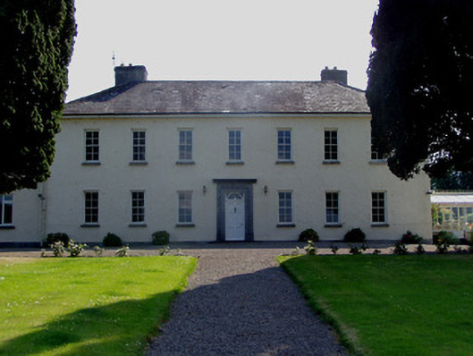 Ballydrehid Housecountry house · 1235 yd
 Knockgraffon CastleCastle · 1237 yd
 IndicatedFairy fort / earthen ringfort · 1651 yd
 Caher AbbeyHeritage attraction · 1.9 mi
 Siege of Cahir Castlesiege · 2.1 miCahir CastleHeritage attraction · 2.3 mi
 Caucasian zelkovaCaucasian zelkova · 2.5 mi
 Slieveanard NE TopMountain / peak · 2.9 mi
 Cappa WoodWood · 3.1 mi
Other information
Photo: Credit not shown in the picture search · Rights wording not checked; contact us if this picture should be removed