What is recorded here
On gently rising land from river bottom to highland to E, in rolling but fairly level grassland. There are good views in all directions. One of four enclosures (KK008-098001-; KK008-098002-, KK008-098003-; KK008-098004-) indicated on the 1st (1839) ed. OS 6-inch map and located in close proximity to each other, running E-W. The enclosures are not depicted on the 1900 revision of the OS 6-inch map which suggests they were levelled between 1839 and 1900. The enclosures are visible as cropmarks on an aerial photograph (CUCAP BGN 88, 1971). Conjoined with another enclosure (KK008-098002-) which lies to the W, this enclosure is depicted on the 1st ed. OS 6-inch map as rectangular (dims. c. 40m N-S; c. 30m E-W) and is visible on the aerial photograph as a rectangular enclosure with rounded corners. On the 1st ed. OS 6-inch map a limekiln is depicted in the NW corner of the enclosure. It is separated from another enclosure (KK008-098004-) to the E by only a few metres. The enclosure is not visible at ground level.
Compiled by: Jean Farrelly
Date of upload: 17 January 2018
The monument record does not grant public access. Check the route and ask the landowner before entering private land.
- What survives
- Recorded monument
Places near here
 Enclosure in Ballycuddihy (galmoy By.))Enclosure · 28 yd
 CastleCastle, tower house · 614 yd
 Enclosure in BallyspellanEnclosure · 907 yd
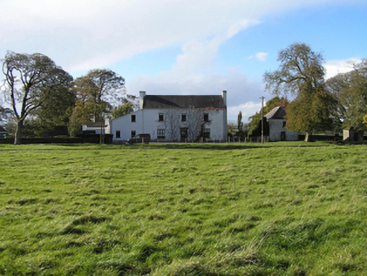 Ballyspellan Housefarm house · 1168 yd
 Temple DonaghmoreChurch · 1236 yd
 John HelyMemorial · 1.1 mi
 DelaneyMemorial · 1.1 mi
 Clomantagh HillMountain / peak · 1.3 mi
 Grangefertagh Castle (site)Archaeological place · 2.2 mi
 Street fieldArchaeological place · 2.4 mi
 Kildrinagh WoodForest · 4.5 mi
 Anker's IslandIsland · 8.3 mi