What is recorded here
On a slight N-S ridge in a valley, in rough pasture. There are fairly good views in all directions. The larger of two conjoined enclosures. The monument may have been partially levelled between 1839 and 1900 as it is not depicted on the 1900 revision of the OS 6-inch map. Also when visited in 1987 it was difficult to discern the shape of the monument at ground level. However, on Digitalglobe satellite image (viewed 16 January 2018) a roughly D-shaped enclosure is clearly visible (dims. c. 36m N-S; c. 43m E-W) with a straight side along the N running E-W. The smaller enclosure (KK008-094002-) is also visible immediately to the SSE. A limekiln is indicated on the 1st (1839) ed. OS 6-inch map immediately NE of the large enclosure and a hollow is visible at this location on the satellite image.
Compiled by: Jean Farrelly
Date of upload: 16 January 2018
The monument record does not grant public access. Check the route and ask the landowner before entering private land.
- What survives
- Recorded monument
Places near here
 Enclosure in Ballycuddihy (galmoy By.))Enclosure · 616 yd
 Enclosure in BallyspellanEnclosure · 954 yd
 Temple DonaghmoreChurch · 1025 yd
 CastleCastle, tower house · 1198 yd
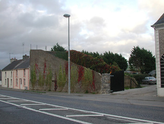 handball alleyhandball alley · 1245 yd
 John HelyMemorial · 1307 yd
 DelaneyMemorial · 1313 yd
 Clomantagh HillMountain / peak · 1.6 mi
 Foulkscourt castle (in ruins)Castle, tower house · 1.9 mi
 Street fieldArchaeological place · 2.5 mi
 Kildrinagh WoodForest · 4.6 mi
 Anker's IslandIsland · 8.6 mi