What is recorded here
On a slight N-facing slope, in gently undulating pasture, with natural ground level sloping down gently from the annexe on the E and S sides. The enclosure, possibly an annexe, abuts the SE side of a moated site (TS058-049---) and consists of a roughly rectangular area (dims. 30m NE-SW; 14m NW-SE) defined by a low broad earthen scarp (Wth 3.6m; H 0.3m). The scarp encloses the annex from NE-WNW with the external bank of the moated site completing the circuit WNW-NE. The scarped edge is best preserved SE-WNW being very faint elsewhere. A 3m long section of what may be an original earthen bank (overall Wth 3m; Wth at top 1m; int. H 0.25m; ext. H 0.45m) survives at the NW corner where the annexe abuts the external bank of the moated site. The original entrance is not recognisable. The interior is level and clear of overgrowth.
Compiled by: Jean Farrelly
Date of upload: 26 August 2011
The monument record does not grant public access. Check the route and ask the landowner before entering private land.
- What survives
- Recorded monument
Places near here
 IndicatedEnclosure · 1218 yd
 Enclosure in Ballyrobin (kilcornan Par.)Enclosure · 1397 yd
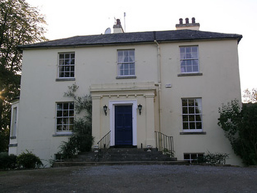 Beechwood Houserectory/glebe/vicarage/curate's house · 1469 yd
 RathduffCastle, ringwork · 1526 yd
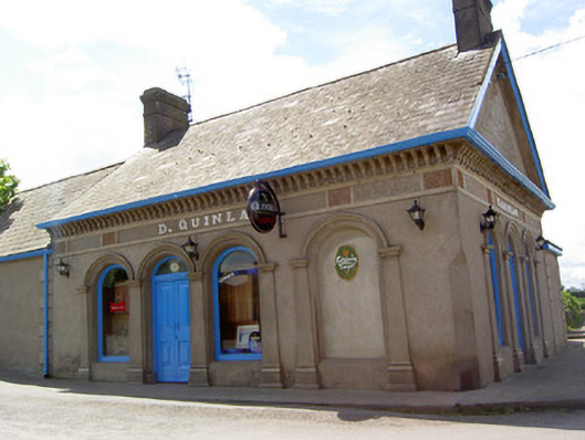 D. Quinlanpublic house · 1570 yd
 Site of Castle LoaghnyCastle, unclassified · 1.1 mi
 Oola HillMountain / peak · 2.4 mi
 ToberagaddySpring · 5.0 mi
 Carn (site of)Cairn, burial cairn · 5.1 mi
 SlievenamuckMountain / peak · 5.3 mi
 Bansha ForestForest · 5.8 mi
 St Patrick's WellSpring · 7.1 mi